


May 3 Cooler Today Then More Rain Expected This Weekend
Friday May 3 Morning Report Another record high of 90ºF was reached yesterday at BWI. This tied the mark set in 2018. Today, a cooler wind will bring us closer…
Friday December 3
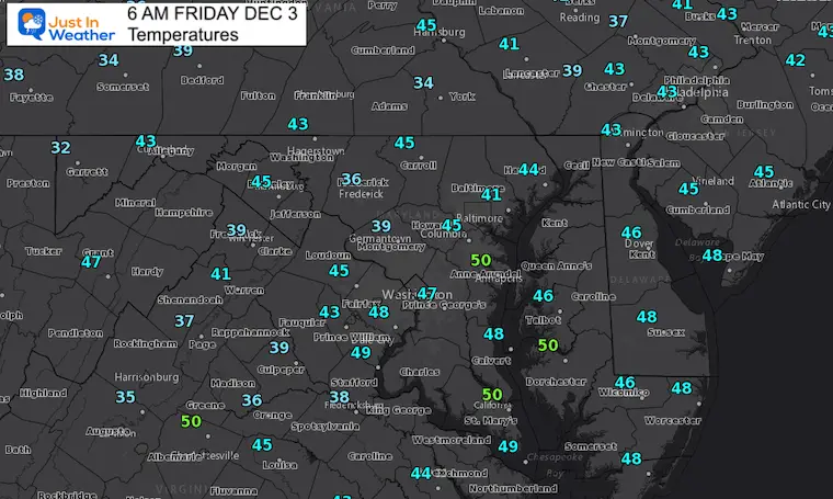
After a warm afternoon yesterday, a fresh round of cooler air will usher in today. Baltimore reached 66ºF on Thursday, and will be 10 to 15 degrees cooler this afternoon.
Quick changes continue for our weather. The weekend will be dry, with rain showers Sunday night into Monday. We have another warm day in the mix, then cooler next week.
Looking ahead to a storm on Wednesday, the timing may allow this to start with a snow/rain mix.
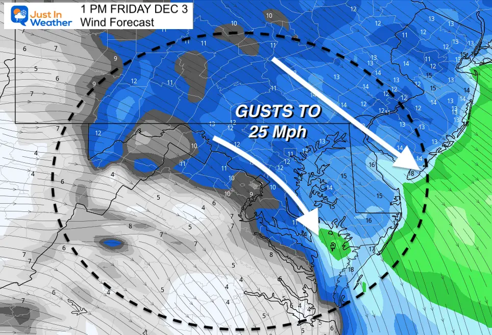
A new air mass is moving with with cooler air and a fresh breeze.

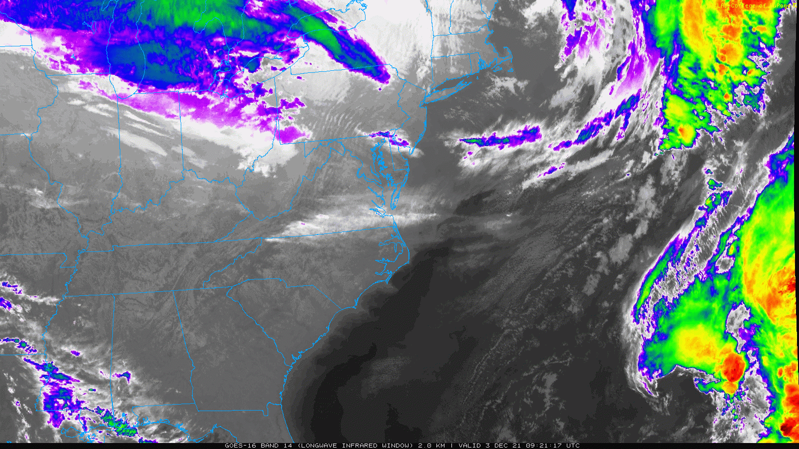
It looks like a solid line of clouds heading our way, but the road block is the mountains. I do believe we will mix in more clouds during the day.

Normal Low in Baltimore: 31ºF
Record 11ºF in 1976
Normal High in Baltimore: 49ºF
Record 72ºF 1998

Animation Sunday Evening To Wednesday Evening
I still believe Model guidance has been POOR for storm systems one week away. I have refrained from showing systems until within 5 days recently.
Here the European Model is showing showers Sunday night, then a larger storm systems on Wednesday with a track farther south.
Will there be enough cold air?
The snow line is closer, now showing around the MD/PA line.
The faster validation of the jet stream might allow the colder air to arrive sooner, and push this storm track a little farther south. That is what I will be tracking and comparing each run. We may see that reflected in the next two days. This Euro Model would typically be the first to show it if that is going to be the case.


Last Winter Recap: My Old Outlook And Your Grades Of My Storm Forecasts


