November 6 Southeast Storm Then Warmer Next Week
Saturday November 6
Before discussing the weather, let’s get to the elephant in the room. Today is the last day of Daylight Saving Time. We turn the clocks back tonight, and the groans are growing larger.
While we get an extra hour of sleep, the impact on our lives will be abruptly noticeable in the afternoon… Our sunset will go from 6 PM today to 4:58 PM tomorrow. With extra cloud cover, it will really feel dark- early!
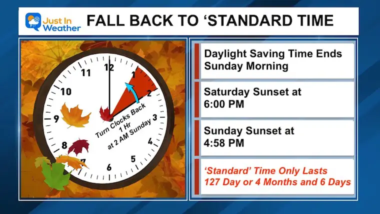
My question is why do we call it Standard Time when it lasts only 4 months? Congress has changed the ‘dates’ multiple times… and the Standard Time keeps getting shorter. Will there be a day it gets removed all together?
Reminder: Check your car clock before work on Monday, and change the batteries in the smoke detectors.
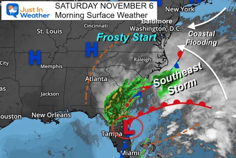
Morning Surface Weather
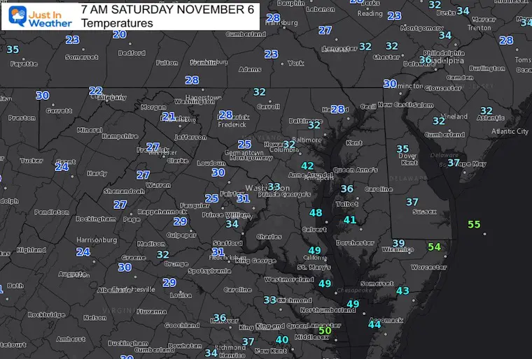
We have High Pressure in control and another frosty morning.
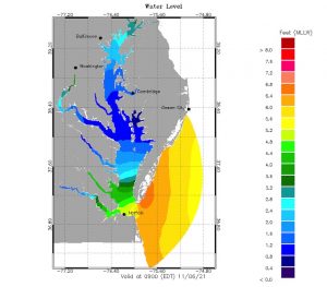
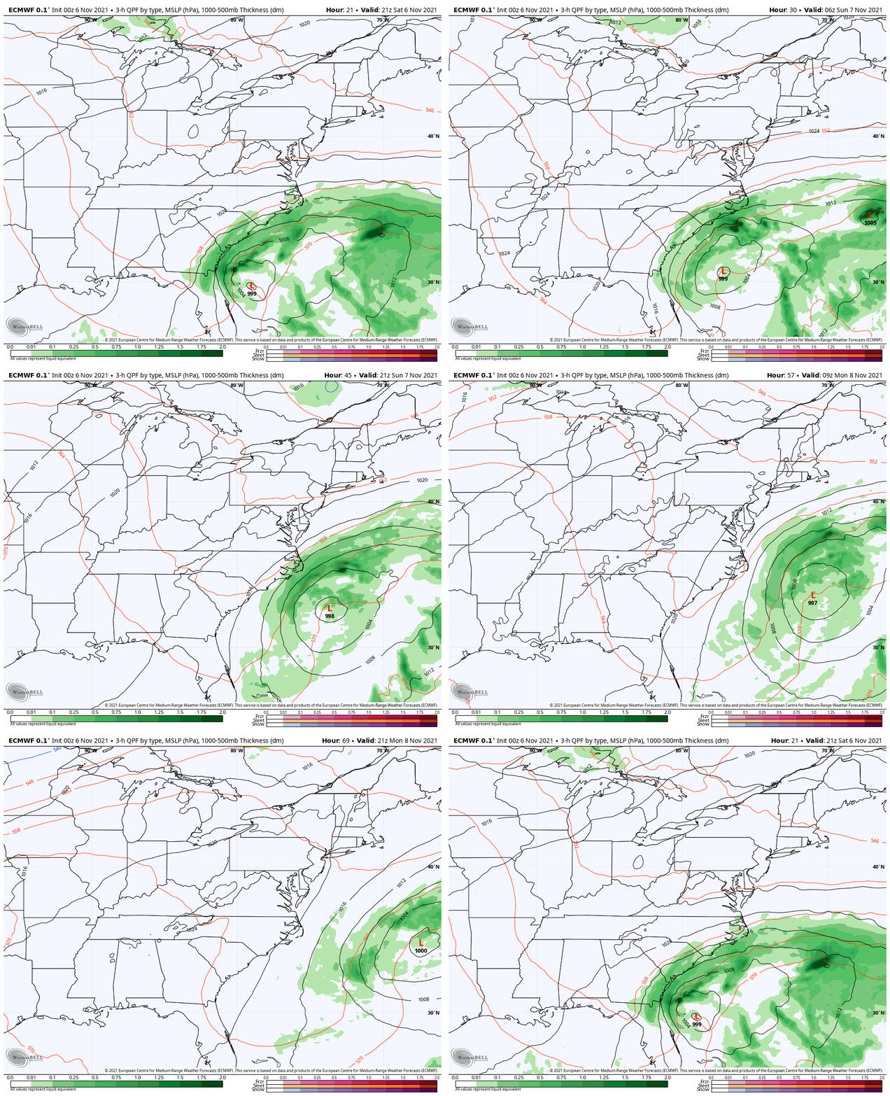
The storm in the Southeast will be close enough to brush us with clouds, and bring some flooding to the coastal areas.
Morning Temperatures
Closer Look At Southern Maryland
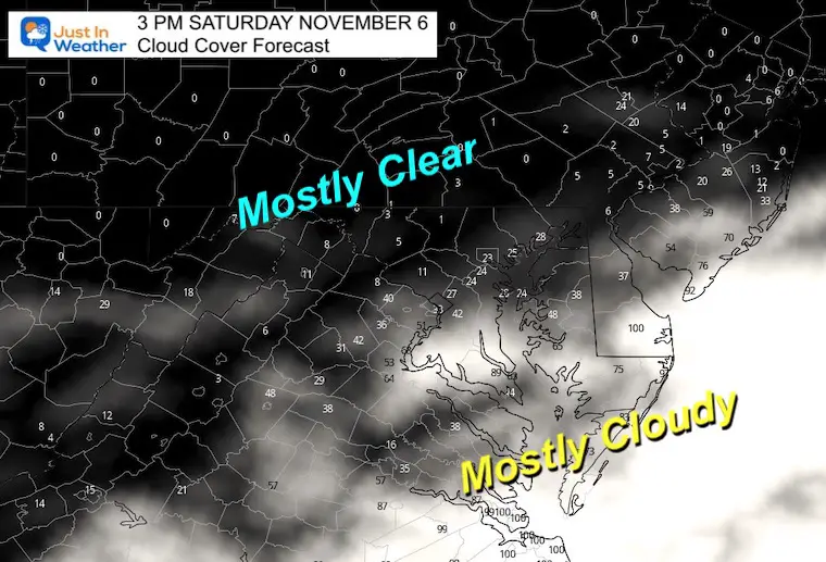
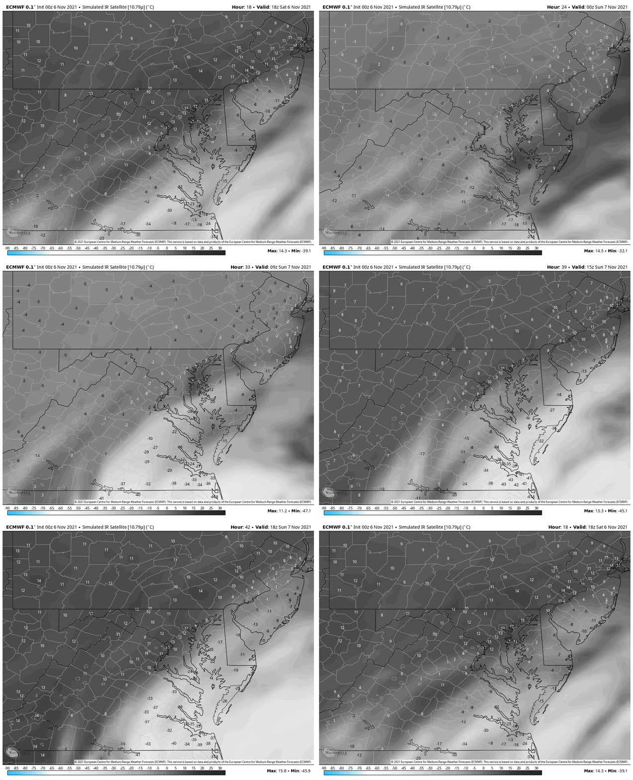
Afternoon Cloud Forecast
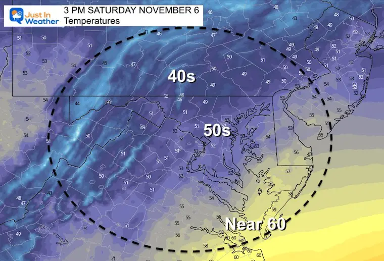
Afternoon Temperatures
Also See These Recent Reports:
Fall Foliage Report and Something To Smile About
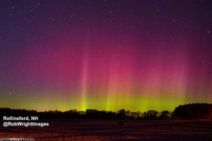
Northern Lights On Display in New England This Week
Weather Almanac: Climate Data
TODAY November 6
Normal Low in Baltimore: 39ºF
Record 22ºF in 1991
Normal High in Baltimore: 60ºF
Record 80ºF 2015
Tracking That Storm
The path will remain along the Southeast coast, then move out to the Atlantic on Monday. Following will be sunshine and a warm up.
Cloud Cover Forecast
Our region will be split with more sun to the west and north, but more clouds south and east.
There will be a push of clouds into metro areas on Sunday. That is why I expect the dark impact on Sunday ‘afternoon’ will be extra noticeable.
Coastal Flooding:
This should be more of an issue on the Atlantic Coast. See the water forecast maps here.
See all Bay/Coastal Water Forecast Maps
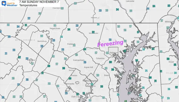
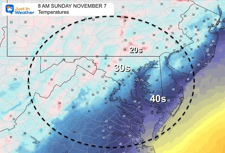
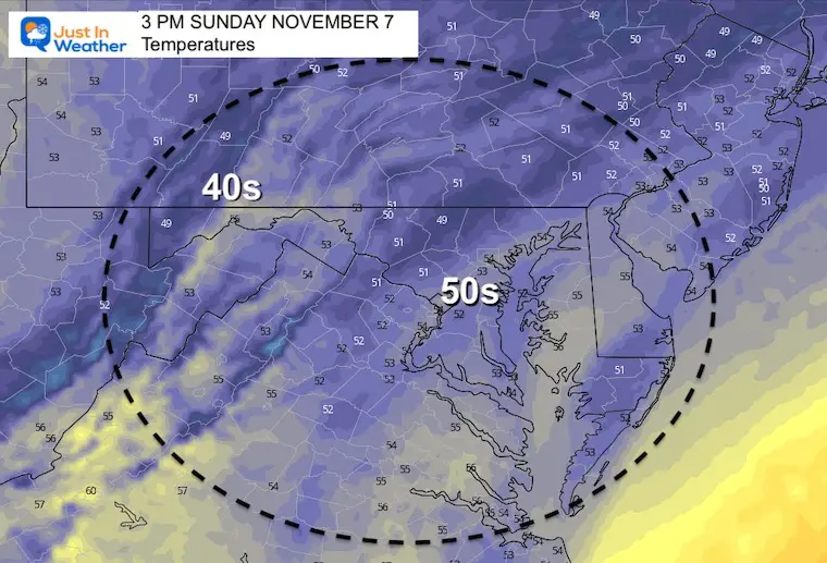
Sunday Temps
Morning
Afternoon
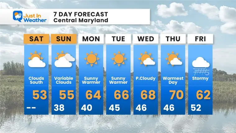
7 Day Forecast
Weather posts straight to your inbox
Sign up and be the first to know!
Winter Weather Page – Lots of resources
Also See The Winter Outlook Series:
Comparing 4 Different Farmer’s Almanacs: Majority colder winter outlook than NOAA
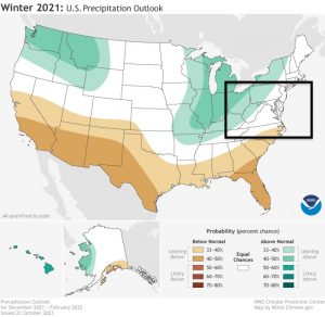
NOAA Winter Outlook- But Read The Fine Print
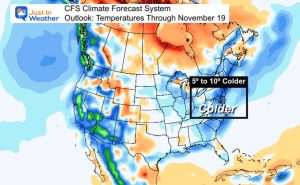
Signals For Early Start To Winter In November
Winter Outlook Series: La Nina Double Dip
Nor’easters May Give Hint For Winter La Nina Pattern
Winter Folklore Checklist
Faith in the Flakes Gear
SNOWSTIX – Available Now
Please share your thoughts, best weather pics/video, or just keep in touch via social media
Facebook: Justin Berk, Meteorologist
Twitter: @JustinWeather
Instagram: justinweather


