Monday November 29
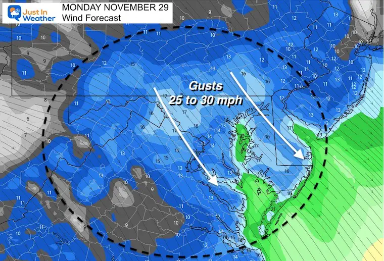
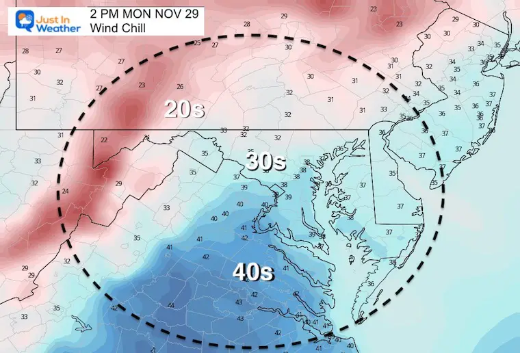
It seems like we have a repeating weather pattern every few days. Today is the day we get chilly winds. I would dress for the 30s this afternoon and plan for gusts over 20 mph.
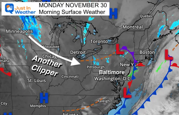
Another clipper will bring another chance for snow flurries overnight and early Tuesday morning. There may be similarities to this past weekend.
The next few days will bring a brief warm up bringing many back to the 60s for at least one day.
Morning Surface Weather
A chilly NW wind today, and the fast pattern will being another Clipper near the region by early Tuesday.
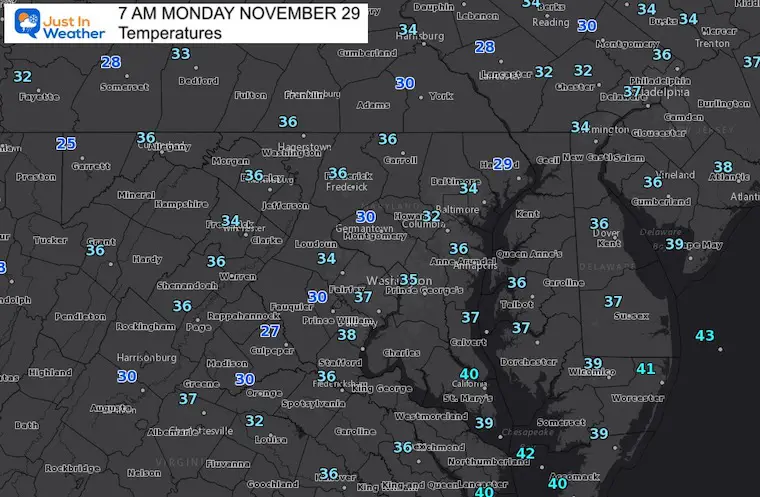
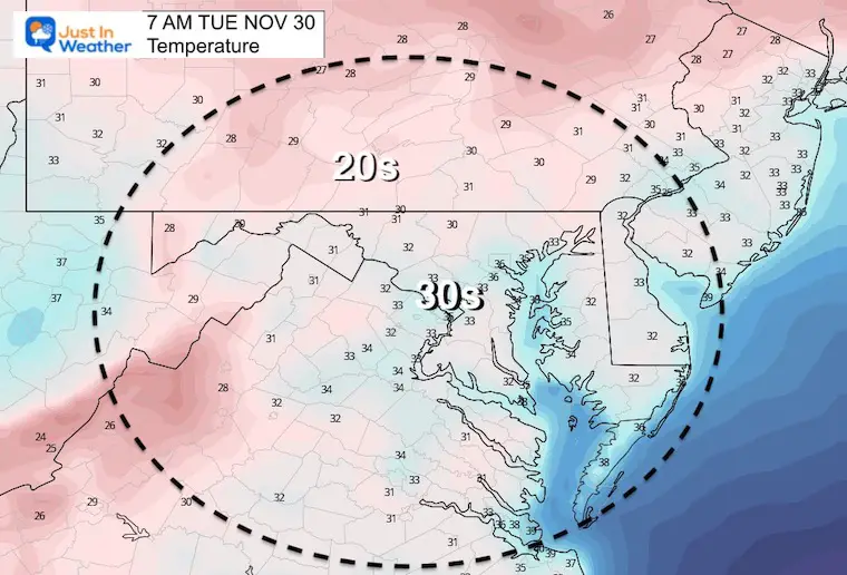
Morning Temperatures
Seasonably cold this morning. The theme today will be more about the wind making it feel colder.
Wind Forecast
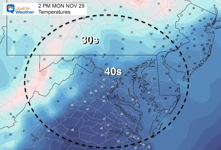
Afternoon Temperatures
Wind Chills
ALL FITF APPAREL 20% OFF
Today: CYBER MONDAY
Discount applies at checkout

Weather Almanac: Climate Data
TODAY November 29
Normal Low in Baltimore: 33ºF
Record 13ºF in 1955
Normal High in Baltimore: 51ºF
Record 74ºF 1927
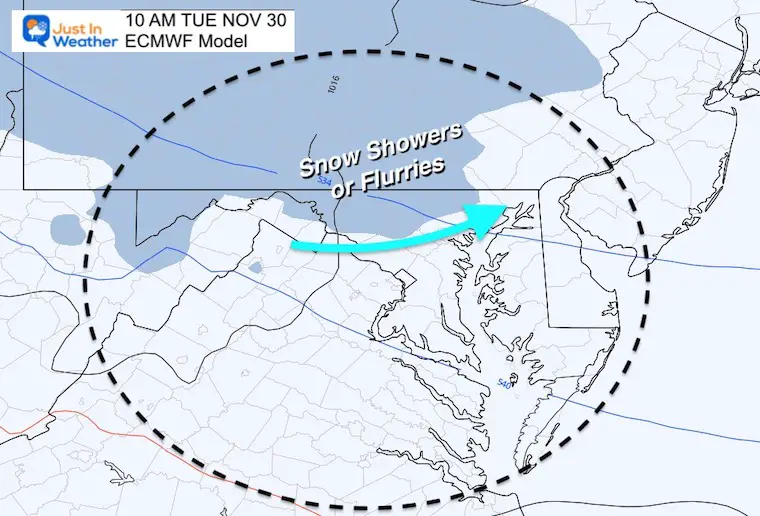
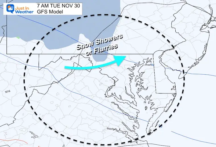
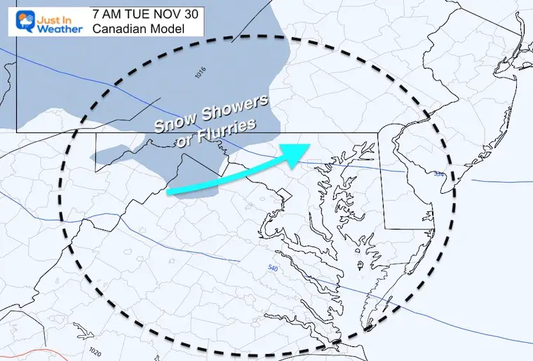
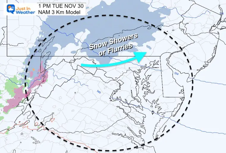
Overnight Snow Flurries
Looking at these models I need to bring up what we saw with the last system over the weekend:
This may also arrive earlier.
There is likely to be more coverage on radar and perhaps reaching the ground than seen on these plots.
This will be ambience, with little to no impact. Just for the view of flakes falling.
European Model
GFS Model
Canadian Model
NAM 3 Km Model
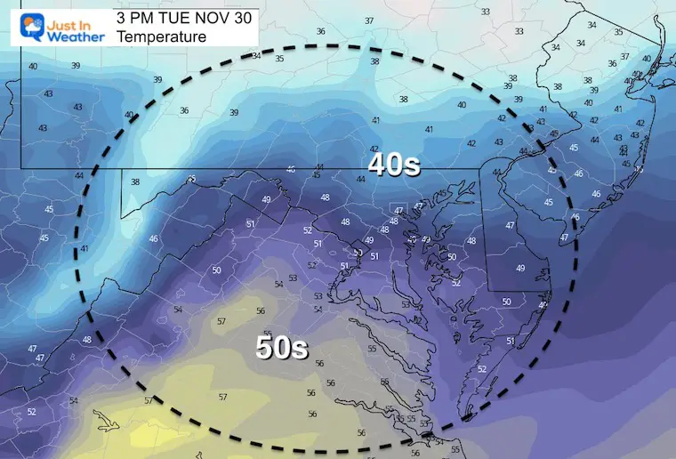
Tuesday Temperatures
Morning
Afternoon
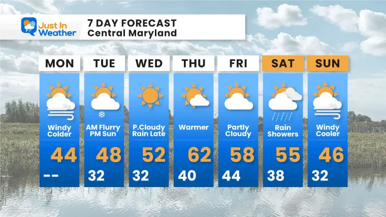
7 Day Forecast
I sped up the next rain risk to Wednesday night. Then the warmest day of the week will be Thursday.
Also see:
Winter Outlook Series:
My Call For Snowfall

Last Winter Recap: My Old Outlook And Your Grades Of My Storm Forecasts


Please share your thoughts, best weather pics/video, or just keep in touch via social media


