NWS DAMAGE SURVEY FOR BOWIE MD TORNADO EVENT TUESDAY JULY 5 2022
This is the office National Weather Service report for the tornado that hit Bowie, MD. I have included additional media to package this in one place. This includes the radar loop, video collection, and some damage photos.
- RATING: EF1
- ESTIMATED PEAK WIND: 90 MPH
- PATH LENGTH: 1.0 MILE
- PATH WIDTH: 125 YARDS
- FATALITIES: 0 INJURIES: 0
- START DATE: JUL 5 2022
- START TIME: 531 PM EDT
- START LOCATION: 1 NW BOWIE MD
- START LAT/LON: 38.9710/-76.7470
- END DATE: JUN 5 2022
- END TIME: 534 PM EDT
- END LOCATION: 1 NE BOWIE MD END
- LAT/LON: 38.9697/-76.7281
A SUPERCELL THUNDERSTORM SPAWNED A BRIEF EF1 TORNADO JUST NORTH OF BOWIE, MD IN PRINCE GEORGES COUNTY LATE ON TUESDAY AFTERNOON JULY 5 2022 BETWEEN 5:31 AND 5:34 PM EDT. THIS SUPERCELL SPAWNED ALONG THE HOWARD/MONTGOMERY COUNTY LINE AS A RESULT OF A REMNANT MESOSCALE CONVECTIVE VORTEX MOVING THROUGH THE REGION WHICH HAD MOVED THROUGH THE OHIO VALLEY EARLIER IN THE DAY. IT EVOLVED INTO A CLUSTER OF CELLS INITIALLY BEFORE SPLITTING OFF INTO AN INDIVIDUAL SUPERCELL THAT WOULD DEVELOP ROTATION AS IT MOVED OUT OF SOUTHEASTERN MONTGOMERY COUNTY INTO NORTHWESTERN PRINCE GEORGES COUNTY. THE TORNADO CAUSED EXTENSIVE TREE DAMAGE IN THE SOMERSET SUBDIVISION JUST NORTH OF BOWIE, MD. THERE WAS ALSO ONCE INCIDENCE WHERE A TREE HAD FALLEN ON TOP OF RESIDENCE ON STAFFORD LN. THE MOST CONCENTRATED AREAS OF DAMAGE OCCURRED BETWEEN STAFFORD LN. AND SABER LN. HOWEVER, THERE WERE SEVERAL OTHER TREES DOWN IN THE AREA OUTSIDE OF THE MORE CONCENTRATED TORNADIC DAMAGE, PARTICULARLY ALONG BUCKINGHAM DRIVE PERPENDICULAR TO WHITE MARSH BRANCH. AT THIS LOCATION ALONG BUCKINGHAM DRIVE, TREES FELL UPON POWER LINES, SNAPPING SEVERAL SUPPORTING UTILITY POLES. THE TORNADO INITIALLY TOUCHED DOWN AROUND TARRAGON LN. AND TRACKED EASTWARD OVER THE BOWIE HIGH SCHOOL ANNEX BEFORE TRACKING INTO THE SOMERSET SUBDIVISION, WHERE THE MAJORITY OF THE DAMAGE WAS OBSERVED. THE TORNADO WOULD THEN LIFT JUST BEFORE REACHING SOUTHERN PORTIONS OF WHITEMARSH PARK.
Storm Report Map

A Second Tornado Touchdown in Anne Arundel County
A tornado was also confirmed in Harwood, MD.
This tornado touchdown was rated EF-Unknown due to lack of damage indicators as it moved across an open field.

Radar Recap
It was an active weather day for those east of DC, especially between 515-630 PM. A supercell (rotating thunderstorm) spread severe weather across parts of Prince Georges & Anne Arundel counties. Tornado Warnings are in red & Severe T’Storm Warnings are in yellow. #MDwx pic.twitter.com/xTHRfxiU4P
— NWS Baltimore-Washington (@NWS_BaltWash) July 6, 2022
KLWX WSR-88D DOPPLER RADAR IN STERLING VA DEPICTED A TIGHT
VELOCITY COUPLET THAT CORRESPONDED TO THE LOCATION OF THE DAMAGE
DESCRIBED ABOVE. RESIDENTS IN THE AREA NOTED THAT THEY RECEIVED
THE WIRELESS EMERGENCY ALERT DISSEMINATING THE TORNADO WARNING
ISSUED BY THE NATIONAL WEATHER SERVICE BALTIMORE/WASHINGTON
WEATHER FORECAST OFFICE PRIOR TO THE DAMAGE OCCURRING, AND TOOK
APPROPRIATE ACTION TO REDUCE THEIR RISK OF INJURY FROM THE
TORNADO.
Video Collection
These was the best I could piece together on short notice. Thank you to al that shared. This included the possible tornado near Salisbury as well.
When the final storm survey is issued, I will share it online.
Tree Damage Photos
Thank you Jeff Reetz and The Bowie Volunteer Fire Department
THE BALTIMORE/WASHINGTON WEATHER FORECAST OFFICE IN STERLING, THANKS THE CITY OF BOWIE AND THE PRINCE GEORGES COUNTY DEPARTMENT OF EMERGENCY SERVICES FOR THEIR ASSISTANCE IN THIS SURVEY, ALONG WITH THE RESIDENTS OF PRINCE GEORGES COUNTY THAT WERE WITNESS TO THIS TORNADO EVENT. EF SCALE: THE ENHANCED FUJITA SCALE CLASSIFIES TORNADOES INTO THE FOLLOWING CATEGORIES: EF0.........65 TO 85 MPH EF1.........86 TO 110 MPH EF2.........111 TO 135 MPH EF3.........136 TO 165 MPH EF4.........166 TO 200 MPH EF5.........>200 MPH
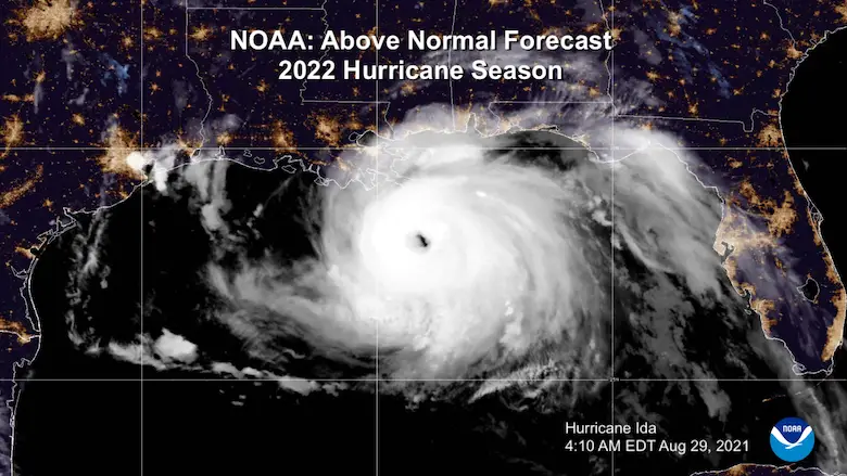
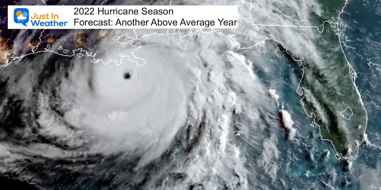
Hurricane Season Forecast: June 1 Through November 30
NOAA 2022 Hurricane Forecast- Above Normal Again
Forecast From Colorado State University
Related Posts
NOAA Study: Reducing Air Pollution INCREASED Tropical Storms
Atlantic Tropical History: Maps of Origin Regions Every 10 Days
Recent Storm Reports
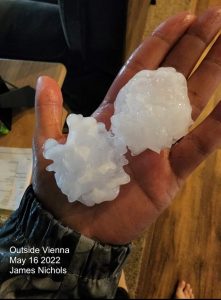
May 16 Large Hail Videos And Storm Tracking Map
Please share your thoughts, best weather pics/video, or just keep in touch via social media
Facebook: Justin Berk, Meteorologist
Twitter: @JustinWeather
Instagram: justinweather
*Disclaimer due to frequent questions:
I am aware there are some spelling and grammar typos. I have made a few public statements over the years, but if you are new here you may have missed it:
I have dyslexia, and found out at my second year at Cornell. I didn’t stop me from getting my meteorology degree, and being first to get the AMS CBM in the Baltimore/Washington region.
I do miss my mistakes in my own proofreading. The autocorrect spell check on my computer sometimes does an injustice to make it worse.
All of the maps and information are accurate. The ‘wordy’ stuff can get sticky.
There is no editor that can check my work when I need it and have it ready to send out in a newsworthy timeline.
I accept this and perhaps proves what you read is really from me…
It’s part of my charm.


