July 3 Brief Storm Recap And Tracking Weather Through Improving Independence Day
July 3 2022
Sunday Morning Update
Good morning. I have a brief recap of yesterday’s storm, then a look at the weather today into next week.
A massive eruption of storms came to fruition yesterday. This makes me realize the limitation of my communication ability. This website is my general portal, but I can’t alway write a full report and it may not reach everyone. Facebook (and Twitter) is where I can share quick updates, but still limited to who gets alerts. I am working on a more effective way to commute with you in fast changing situations.
I do hope you were on my Facebook page to see this update Saturday evening when I realized what was about to transpire. I posted this at 7:30 PM
This radar loop from 7:45 PM to 8:15 PM showed the explosive development over Howard County to Baltimore City.
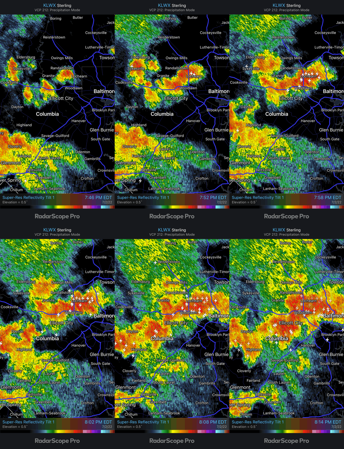
The Lightning Display of Baltimore City was only matched by Flash Flooding and Tornado Warnings even up to Cecil County.
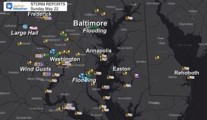
Preliminary Storm Report Map
There were a lot of damage reports. Today is the day The National Weather Service will investigate damage to determine if there were any tornado touchdowns.
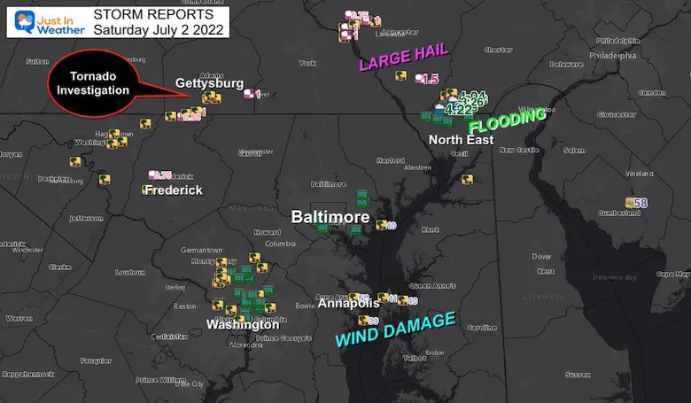
Gettysburg PA
This has gotten a lot of attention and may be top on the list to get explored today.
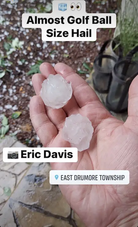
Large Hail was seen in this area up to the site of Golf Balls!
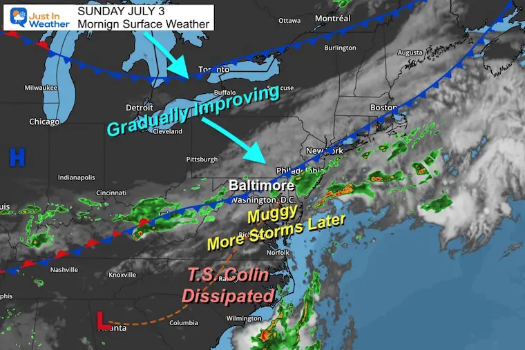
Morning Surface Weather
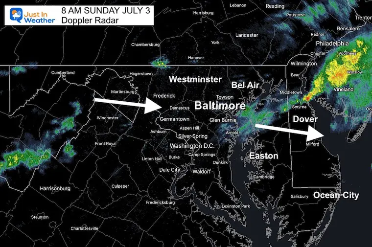
The cold front is still crossing the region. There have been showers this morning, and we can expect one more flare up this afternoon when it will be passing southern Maryland. This keeps Ocean City beaches in the risk for storms between 2 PM and 6 PM.
Looking Northwest for our next Air Mass for gradually improving weather arriving this afternoon and tonight.
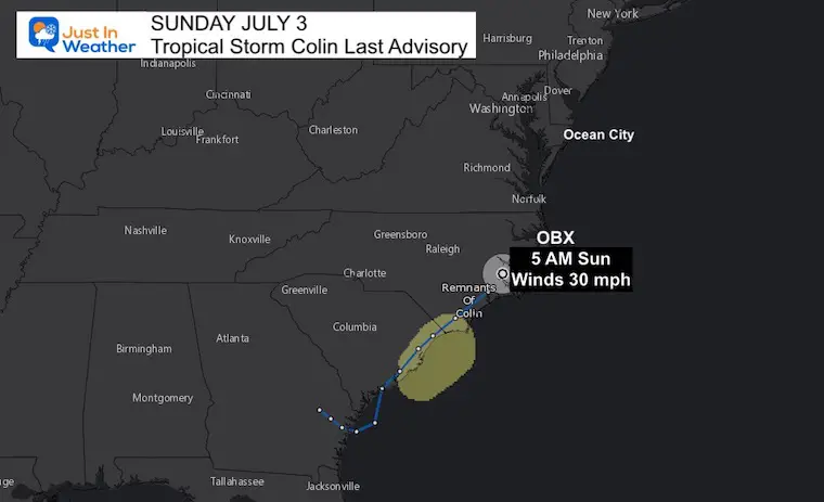
Tropical Storm Colin haas dissipated.
Snapshot: 8 AM Sunday
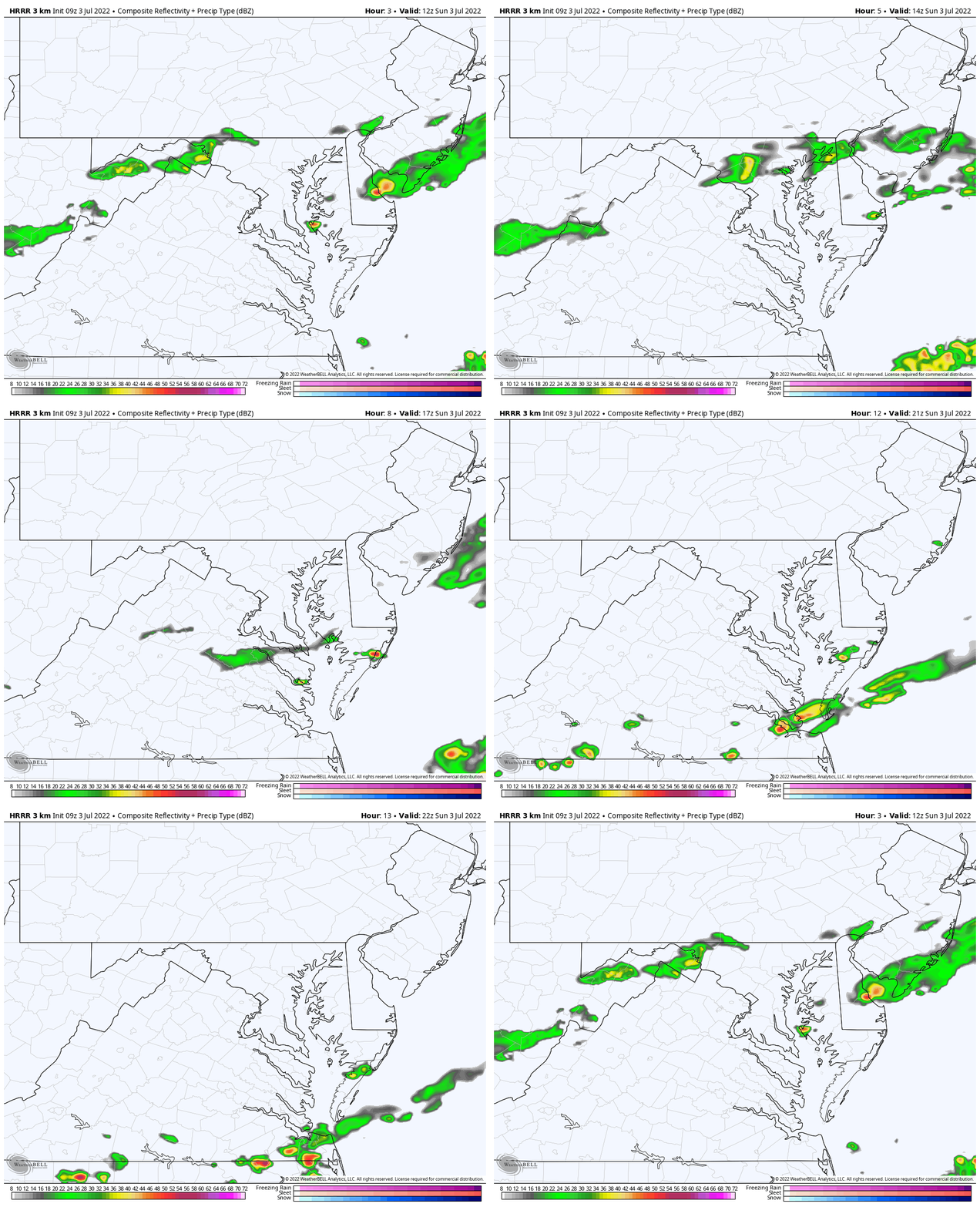
Radar Simulation
HRRR Model 8 AM to 6 PM
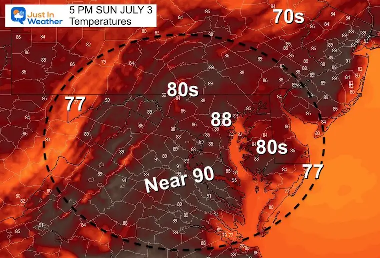
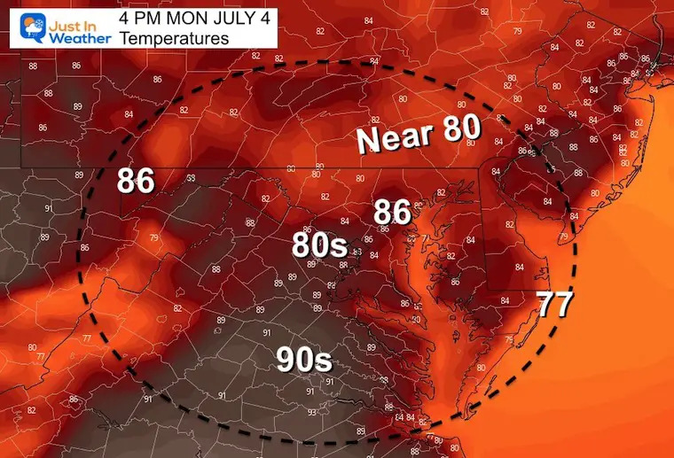
Afternoon Temperatures
CLIMATE DATA
TODAY July 3rd
Normal Low in Baltimore: 67ºF
Record 50ºF in 2001
Normal High in Baltimore: 88ºF
Record 104ºF 1898
Monday – Independence Day
This should be the nicest day of the week.
Morning
We should notice the lower humidity with cooler temps in the morning.
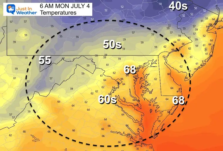
Afternoon
Tropics
Tropical Storm Colin ran along the South Carolina Coast and ran out of energy inland. The latest advisory discontinued the system over eastern North Carolina.
Looking Ahead
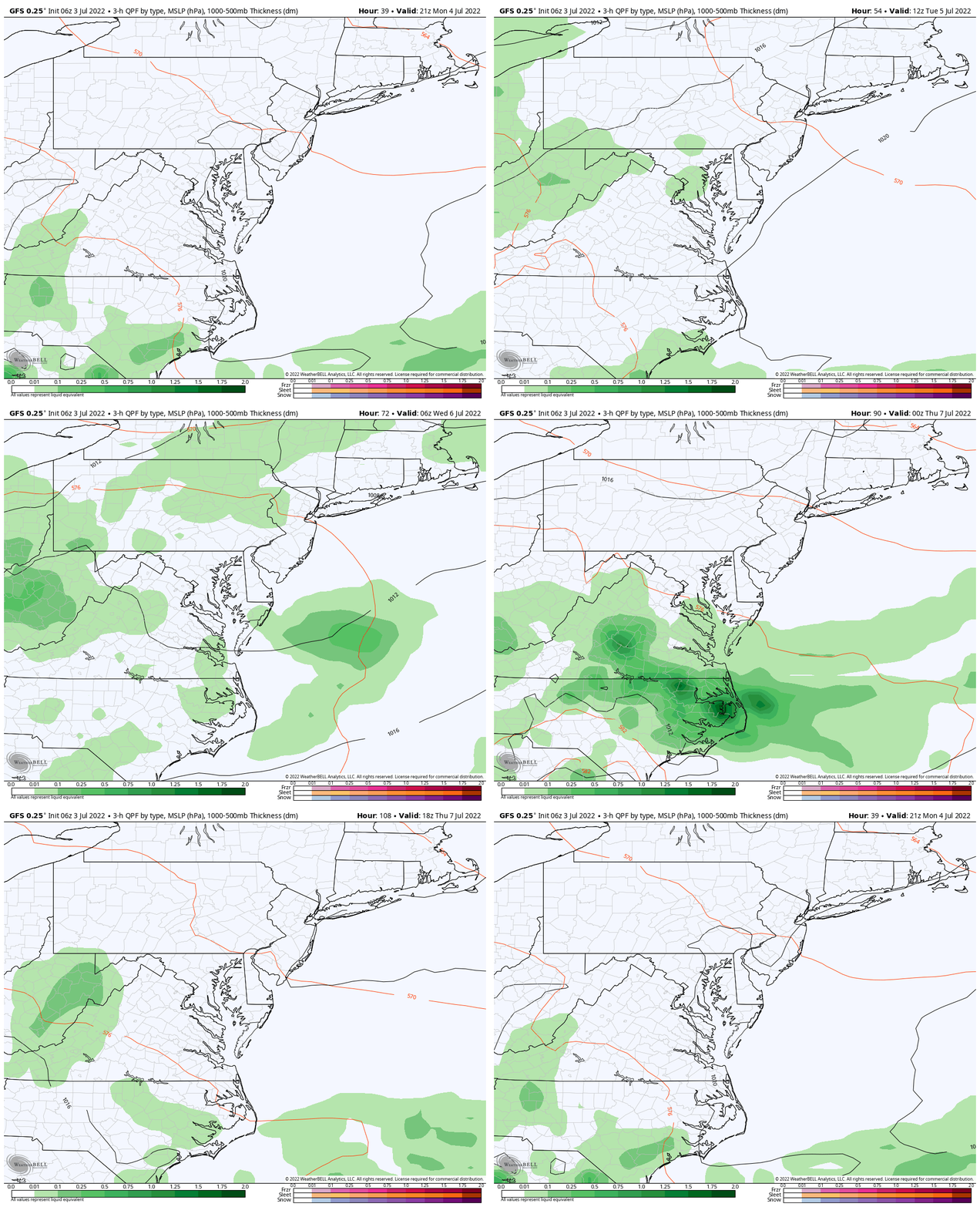
Simulation Monday Afternoon to Thursday Afternoon
The next round of storm may turn severe on Tuesday, with lingering showers on Wednesday morning… Sound familiar?
Then we remain in a typical summer pattern with seasonably warm days with scattered afternoon storms.
7 Day Forecast
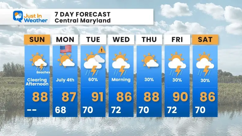
We may have another round of severe storms on Tuesday.
It Is Paddling Season
TEACHER SPECIAL Click Here
$20 Off 2 hour Rental
Book Your Kayak or Paddle Boat Adventure On The North Chesapeake Bay
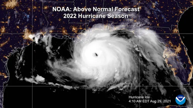
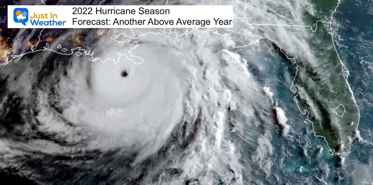
Hurricane Season Forecast: June 1 Through November 30
NOAA 2022 Hurricane Forecast- Above Normal Again
Forecast From Colorado State University
Related Posts
NOAA Study: Reducing Air Pollution INCREASED Tropical Storms
Atlantic Tropical History: Maps of Origin Regions Every 10 Days
Recent Storm Reports
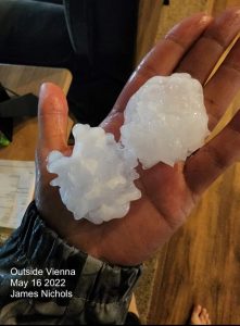
May 16 Large Hail Videos And Storm Tracking Map
Please share your thoughts, best weather pics/video, or just keep in touch via social media
Facebook: Justin Berk, Meteorologist
Twitter: @JustinWeather
Instagram: justinweather
*Disclaimer due to frequent questions:
I am aware there are some spelling and grammar typos. I have made a few public statements over the years, but if you are new here you may have missed it:
I have dyslexia, and found out at my second year at Cornell. I didn’t stop me from getting my meteorology degree, and being first to get the AMS CBM in the Baltimore/Washington region.
I do miss my mistakes in my own proofreading. The autocorrect spell check on my computer sometimes does an injustice to make it worse.
All of the maps and information are accurate. The ‘wordy’ stuff can get sticky.
There is no editor that can check my work when I need it and have it ready to send out in a newsworthy timeline.
I accept this and perhaps proves what you read is really from me…
It’s part of my charm.


