Tropical Storm Chantal Forecast Landfall Sunday And Impact Monday
Saturday July 5 Late Afternoon Update Tropical Storm Chantal officially was named earlier today and has be working towards and US landfall tomorrow. This is the third named storm of…
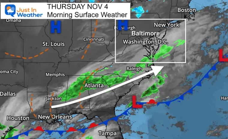
Thursday November 4
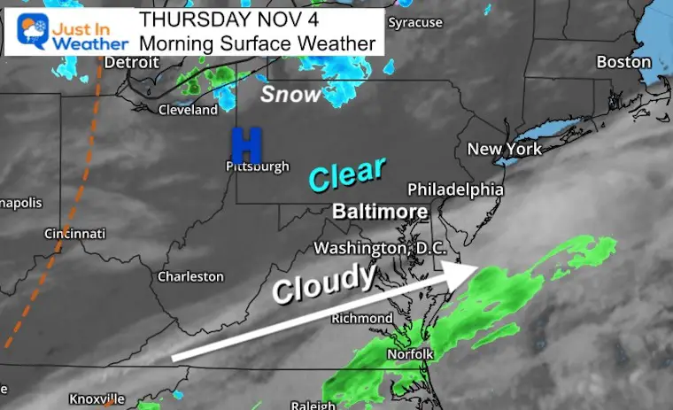
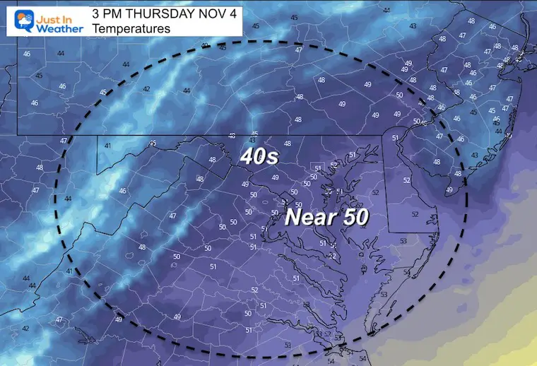
Colder air has settled in across more of the region, but a band of clouds with a southern storm track has limited how cold. It may also limit temperatures today timing the sun in southern areas.
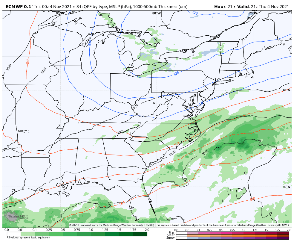
We will continue to watch that southern track for a weekend storm. That looks like it will miss us this weekend, but worth watching closely for any bump in track.
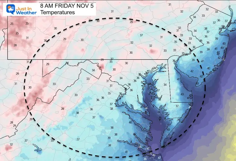
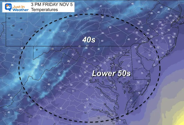
While the next few mornings will continue to be frosty, and the afternoon remain up to 10 degrees cooler than normal, temps will warm back up next week.
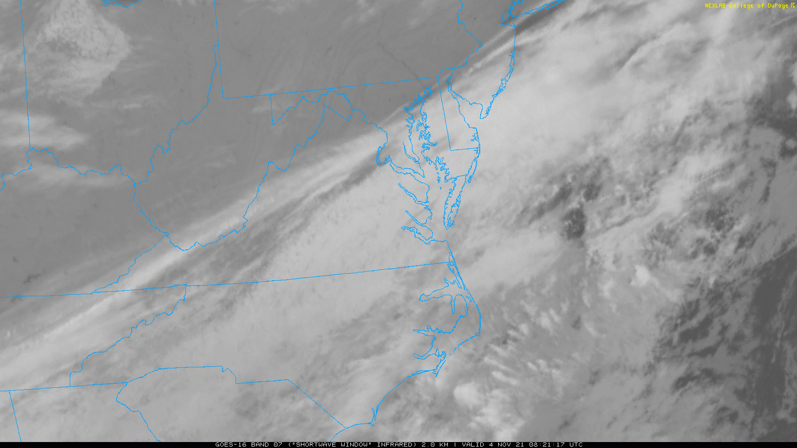
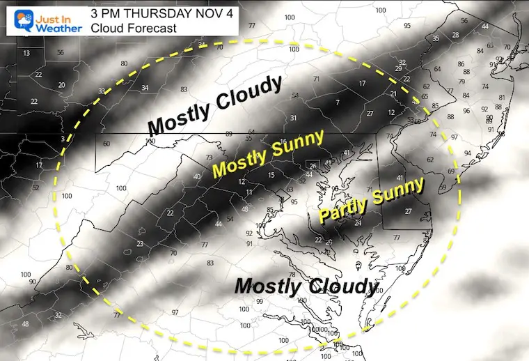
The most notable feature this morning is the band of clouds slicing our region in half. This helped keep temps in southern areas from dropping even lower. It will continue to split the region this afternoon with who gets into the sunshine.
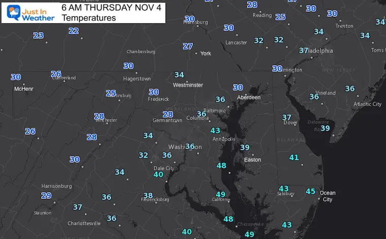
A few layers and a jacket! With more clouds south and west, it may actually feel colder today, but temps should be similar to yesterday.
Normal Low in Baltimore: 40ºF
Record 22ºF in 1951
Normal High in Baltimore: 61ºF
Record 83º F 1974

We may do the alert thing again in areas that did not have a season ending freeze.
There is an active storm track that will continue to be suppressed to the south. This is based off of the cold air mass holding in place and keeping that storm track just to our south.
The next storm is worth watching for two reasons.