June 12 2022
Sunday Afternoon Update
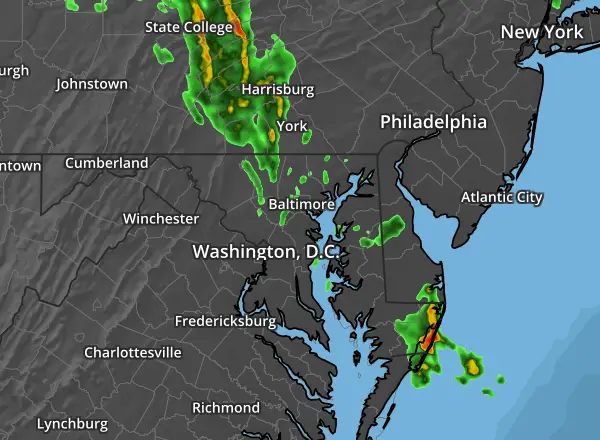
This morning set the stage for the rest of the day. The morning thunderstorms in central Maryland was the hint of energy that gave way to the eruption in southern Maryland and lower Delmarva. Even severe storms south of Ocean City to Chincoteague.
That may have taken some of the potential punch out of the air for any flare up this evening.
In plain English: Things are looking better this evening…
However, I want to address the potential for a larger storm set up Tuesday Morning.
Sunday Afternoon Set Up
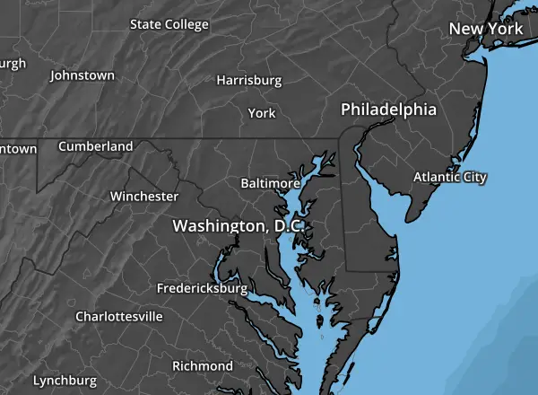
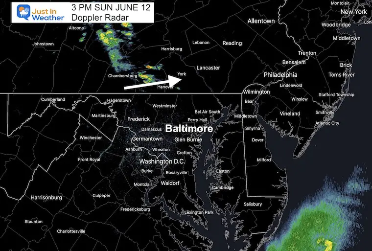
To look at the short range model forecasts, we must see how they are performing. Here’s a look at the 3 PM Doppler Radar compared to the NAM 3 Km and HRRR Models..
Snapshot: Doppler Radar at 3 PM
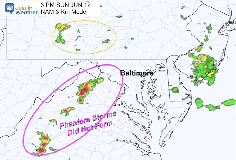
NAM 3 Km Model forecast for 3 PM
This looked most aggressive with a long of strong storms in the mountains. Phantom storms that were no there…
HRRR Model forecast for 3 PM
This was more reasonable but still had a focus on storm to the north that was less impressive than verified. Still, we will use this as the guidance for this evening..

4 PM Update
I waited until this time to get a new hour to compare and see how the HRRR Model was still performing…

Radar Simulation —-> slider
4 PM to 11 PM
As we can see, the storms looks scattered, with the hint that if anything reaches Baltimore for the Paul McCartney concert at Camden Yards, it would be small, quick, and after 9 PM.
I can NOT promise it will be all dry, but it looks a lot better than this morning since there is less energy available.
Doppler Radar Update: Last 2 Hours
Showing Last 2 Radar map data
Looking Ahead:
Monday Evening Set Up
Jet Stream
A large Ridge of High Pressure producing record heat for the central and southern US. We call this a Heat Dome!
Around this type of pattern in summer, a cluster of storms can form and ride around the ridge….

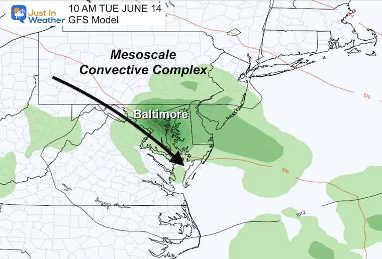
MCC Developing
Often a Mesoscale Convective Complexes (MCC) will form at the top of the ridge in an afternoon or evening, then hold together overnight. This can continue to produce strong to severe storm cells into the following morning along the path. This is forecast to pass through Maryland Tuesday Morning.

Tuesday Morning
The plot in this model shows it directly over Baltimore, but that is a guide and not completely in agreement with other model plots.
However, the timing will be mid morning and noon.
Storm Forecast Animation
Tuesday 8 AM to 8 PM
NAM 3 Km Model
This forecast is showing the complex over central Maryland mid day to early afternoon, which could allow more heat to flare up intensity.
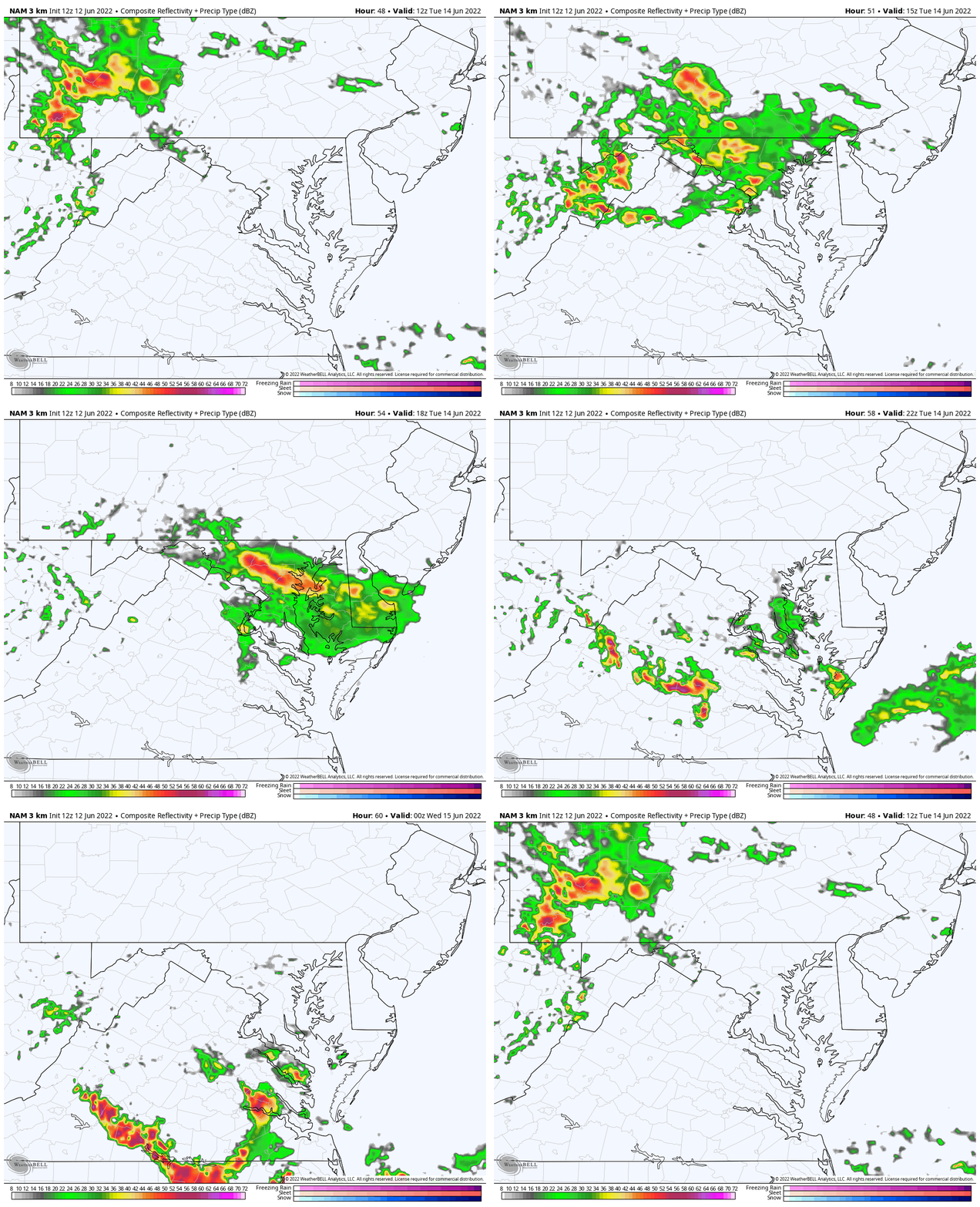
I would be prepared for potential severe storms this day and keep checking back. This might be the tine to have a plan B for any outdoor day trips with the kids to anther day or an indoor option.
This will be a focus in my next weather report.
Weather posts straight to your inbox
Sign up and be the first to know!
TEACHER SPECIAL Click Here
$20 Off 2 hour Rental
Book Your Kayak or Paddle Boat Adventure On The North Chesapeake Bay
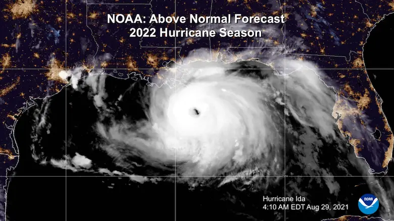
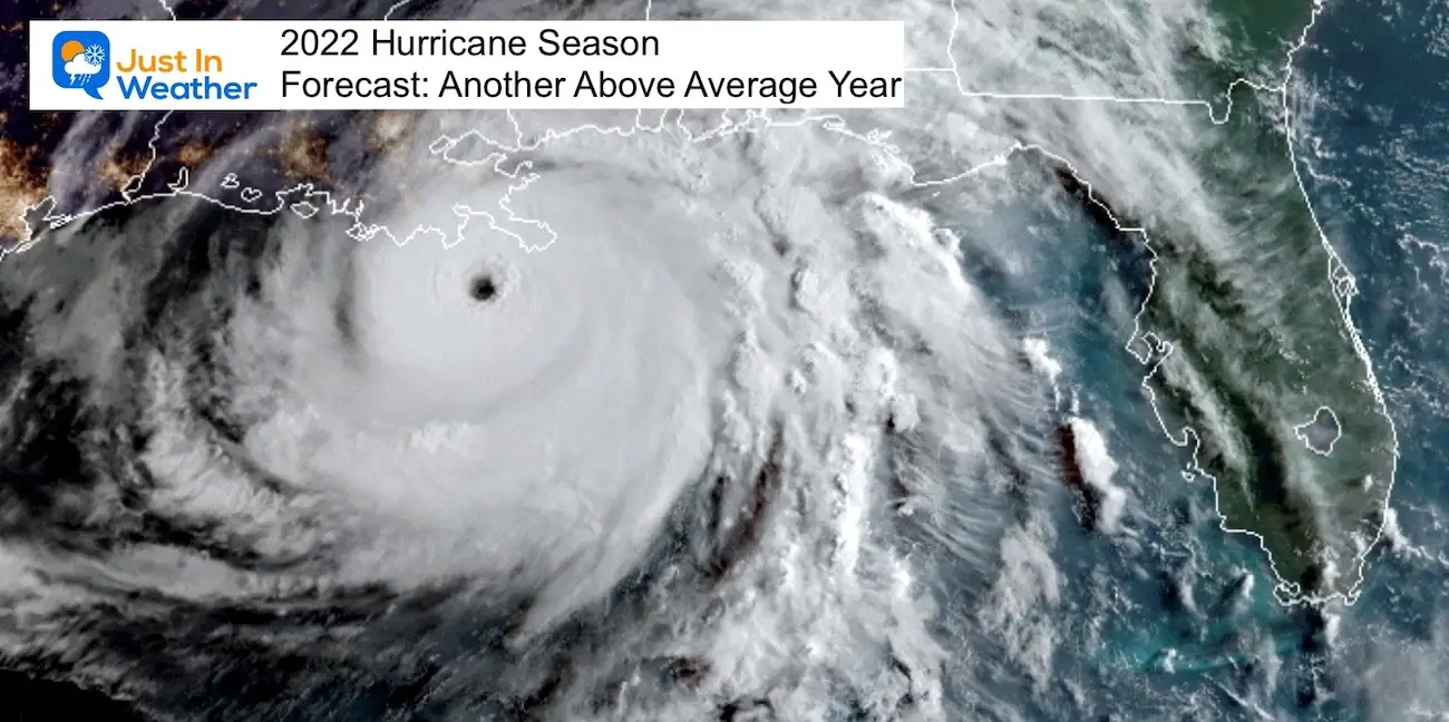
Hurricane Season Forecast: June 1 Through November 30
NOAA 2022 Hurricane Forecast- Above Normal Again
Forecast From Colorado State University
Related Posts
NOAA Study: Reducing Air Pollution INCREASED Tropical Storms
Atlantic Tropical History: Maps of Origin Regions Every 10 Days
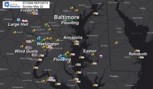
Recent Storm Reports
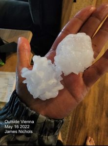
May 16 Large Hail Videos And Storm Tracking Map
Please share your thoughts, best weather pics/video, or just keep in touch via social media
Facebook: Justin Berk, Meteorologist
Twitter: @JustinWeather
Instagram: justinweather
*Disclaimer due to frequent questions:
I am aware there are some spelling and grammar typos. I have made a few public statements over the years, but if you are new here you may have missed it:
I have dyslexia, and found out at my second year at Cornell. I didn’t stop me from getting my meteorology degree, and being first to get the AMS CBM in the Baltimore/Washington region.
I do miss my mistakes in my own proofreading. The autocorrect spell check on my computer sometimes does an injustice to make it worse.
All of the maps and information are accurate. The ‘wordy’ stuff can get sticky.
There is no editor that can check my work when I need it and have it ready to send out in a newsworthy timeline.
I accept this and perhaps proves what you read is really from me…
It’s part of my charm.


