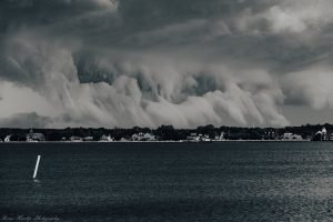
This was the third day in the last week with severe storms across our region. This one had the theme of low hanging, suspicious clouds that looked like they could be a tornado. This was enhanced by the Tornado Warnings in place across many areas. The other theme at least did confirm my suggestion: We continue to get storms earlier and more robust than short range models have been suggesting.
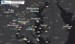
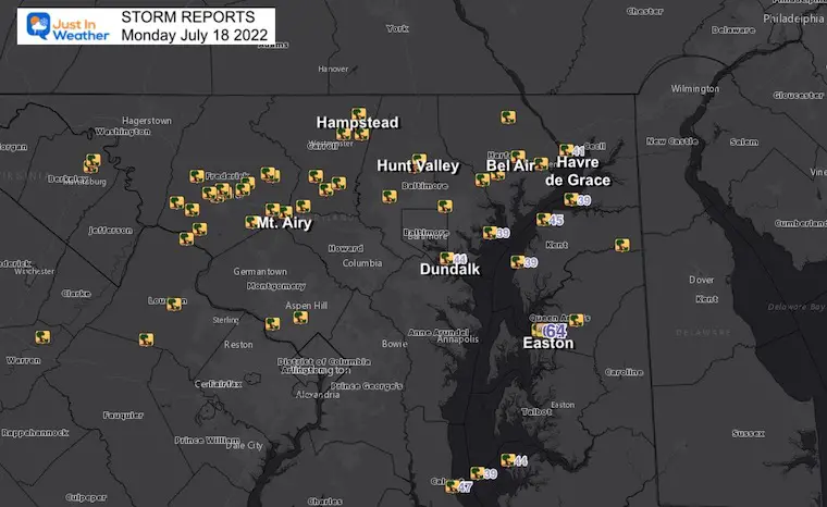
There was another long path of destruction as shown on the map of reports. As of this morning, there have been no tornados reported. I need to emphasize that we had more destruction last week and over the weekend with still no touchdowns confirmed.
Many of the videos did look like the storm was ‘trying’ to form a funnel cloud, and at close look we can see some rotation with a scud cloud caught in an updraft. There was wind sheer, but perhaps just missed the full formation.
Here is a sample collection so far. Thanks to all that shared… there is a lot more media I received but did not get to process and post.
Storm Report Map
National Weather Service Storm Spotters
*See the individual reports below
Storm Videos
(In case you missed my posts on Facebook)
Carroll and Baltimore Counties tracking in to Harford County
White Marsh/Perry Hall
This truly looks like it was trying to form
Near Kingsville Maryland
This first one looks most compelling. The consensus is that it’s just a SCUD, but when I played with the video. I coped see rotation in that updraft. This was was definitely ‘trying’ and during the Tornado Warning.
Easton Maryland (Eastern Shore)
By the Airport and Back Dog Alley. Thanks Sharon Bayly
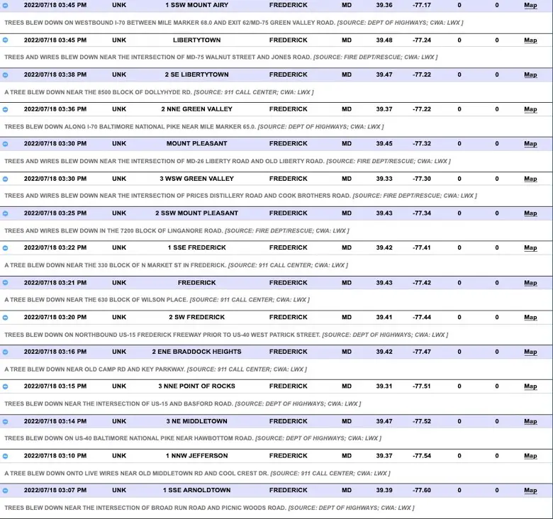
Storm Reports
In Alphabetical Order
Baltimore and Carroll Counties

Frederick County
Harford To Queen Annes Counties

Weather posts straight to your inbox
Sign up and be the first to know!
Storm Reports (preliminary) : Tuesday July 12
Was there a tornado? Here are my reports.
Still no formal statement from The National Weather Service
July 12 Severe Storm Radar Scans: Was There A Tornado Or Not?
Hurricane Season Forecast: June 1 Through November 30
NOAA 2022 Hurricane Forecast- Above Normal Again
Forecast From Colorado State University
Related Posts
NOAA Study: Reducing Air Pollution INCREASED Tropical Storms
Atlantic Tropical History: Maps of Origin Regions Every 10 Days
Recent Storm Reports
May 16 Large Hail Videos And Storm Tracking Map
Please share your thoughts, best weather pics/video, or just keep in touch via social media
Facebook: Justin Berk, Meteorologist
Twitter: @JustinWeather
Instagram: justinweather
*Disclaimer due to frequent questions:
I am aware there are some spelling and grammar typos. I have made a few public statements over the years, but if you are new here you may have missed it:
I have dyslexia, and found out at my second year at Cornell. I didn’t stop me from getting my meteorology degree, and being first to get the AMS CBM in the Baltimore/Washington region.
I do miss my mistakes in my own proofreading. The autocorrect spell check on my computer sometimes does an injustice to make it worse.
All of the maps and information are accurate. The ‘wordy’ stuff can get sticky.
There is no editor that can check my work when I need it and have it ready to send out in a newsworthy timeline.
I accept this and perhaps proves what you read is really from me…
It’s part of my charm.


