July 19 Hot And Dry After Our Storm Day Now Begins Our Heat Wave
July 19 2022
Tuesday Morning Update
We have had at least three severe storm eruption days in the last week. Now we get a break, but the trade off will be building heat.
The trend has been to get weather results a little more robust than short range models have suggested. I mention this with our storms arriving earlier and more widespread than models suggested. If we extrapolate that with the heat, it is possible we end up hotter this week.
This Morning
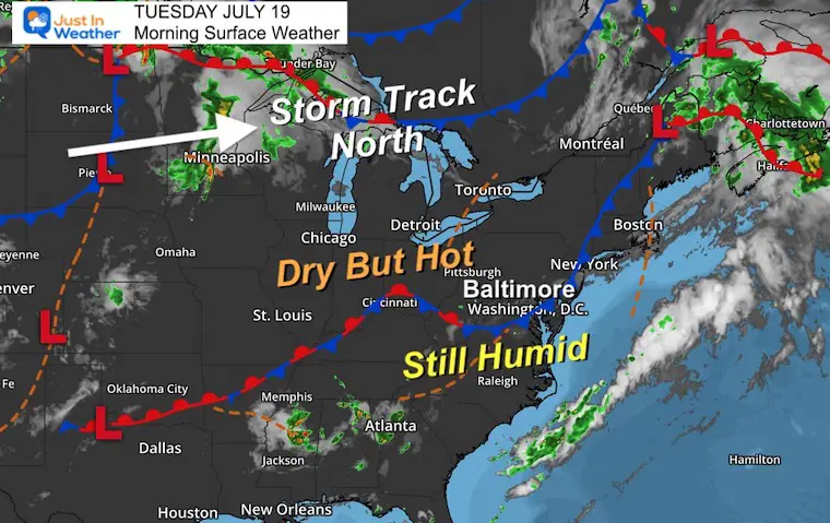
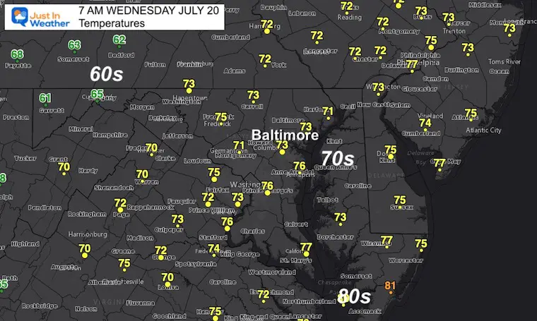
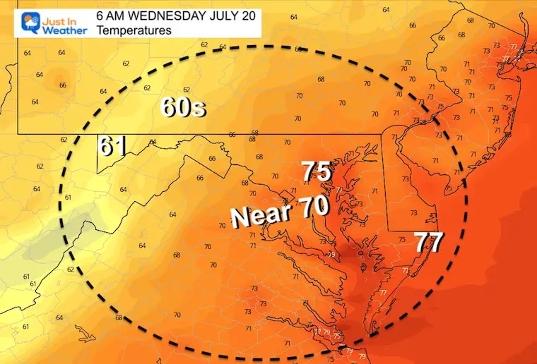
Morning Temperatures
Still quite warm..
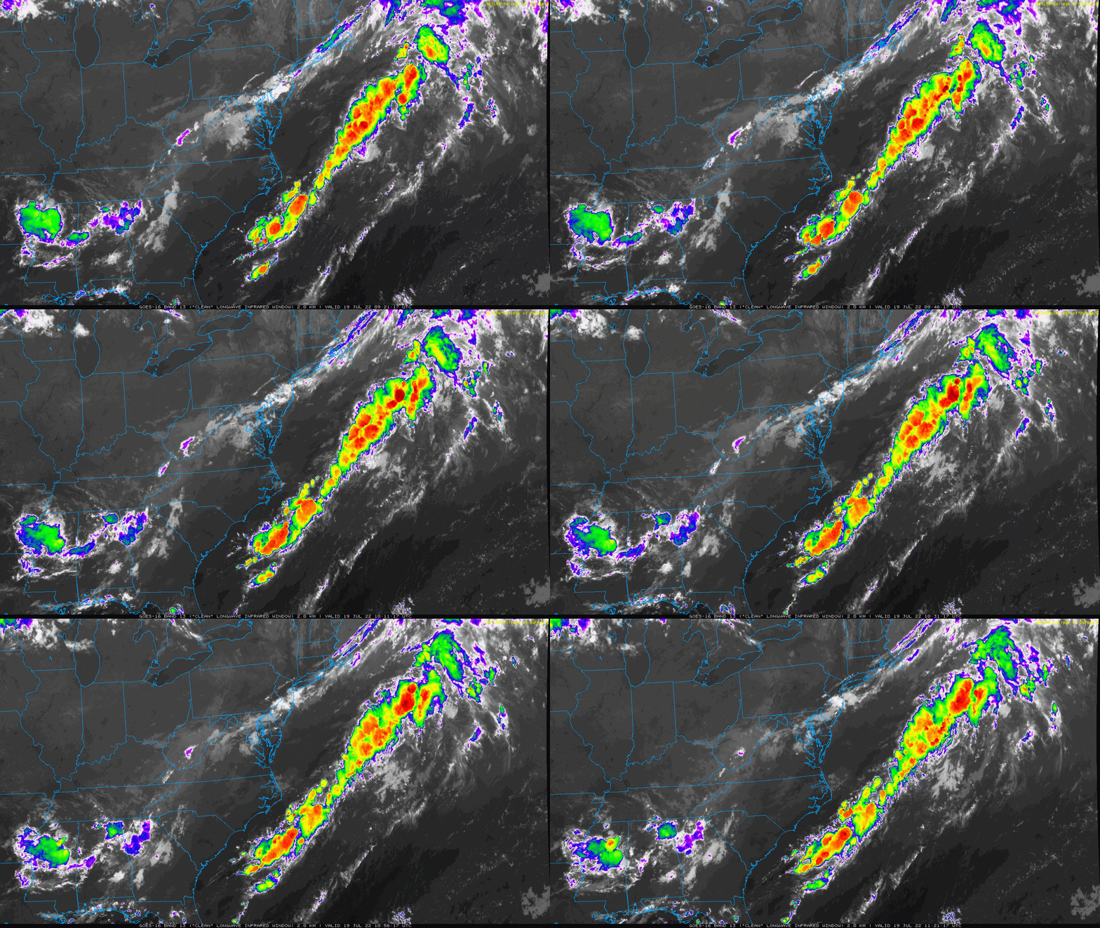
Satellite Loop – 2 Hours Ending At 7:21 AM
We can see the old frontal boundary with a thin line of clouds fading across Maryland. We are not completely done with it, and some showers may pop up again in Southern Maryland later as this could get active in the afternoon.
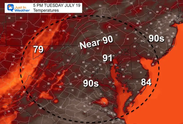
Afternoon Temperatures
Slight chance of storms in Southern Maryland.
Reviewing Yesterday
CLIMATE DATA
TODAY July 19th
Normal Low in Baltimore: 67ºF
Record 57ºF in 2009
Normal High in Baltimore: 88ºF
Record 103ºF 1930
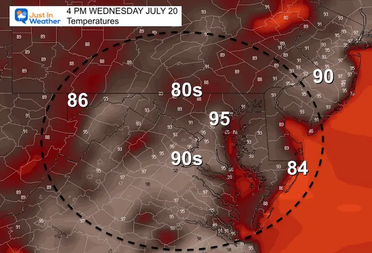
Wednesday Temperatures
Morning
Afternoon
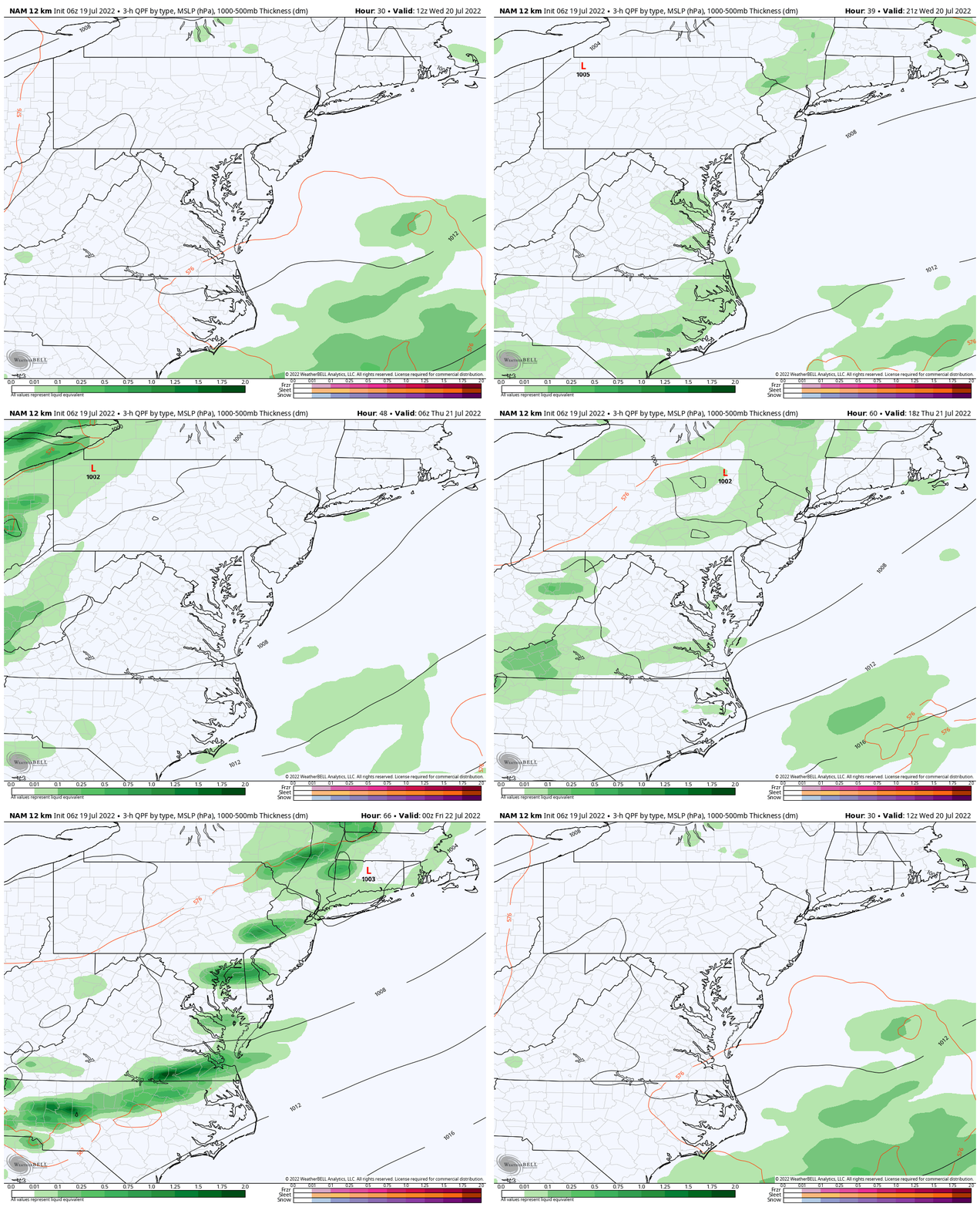
Looking Ahead: NAM 12 Km
The next more likely chance for storms will be Thursday. This will be with the increase in humidity and temps in the upper 90s! Whenever that combination teams up, we can expect some severe storms erupting.
7 Day Forecast
This is the first time all summer we see this extended outlook remain in the 90s, with the potential for reaching 100ºF.
I need to point out that the GFS Model has actually gone even higher for BWI. However, I have seen this product overshoot the temps a few times this summer, so I am holding it back a little.

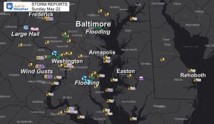
Storm Reports (preliminary)
July 12
Was there a tornado? Here are my reports.
Still no formal statement from The National Weather Service
July 12 Severe Storm Radar Scans: Was There A Tornado Or Not?
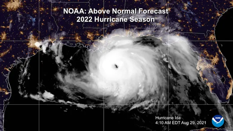
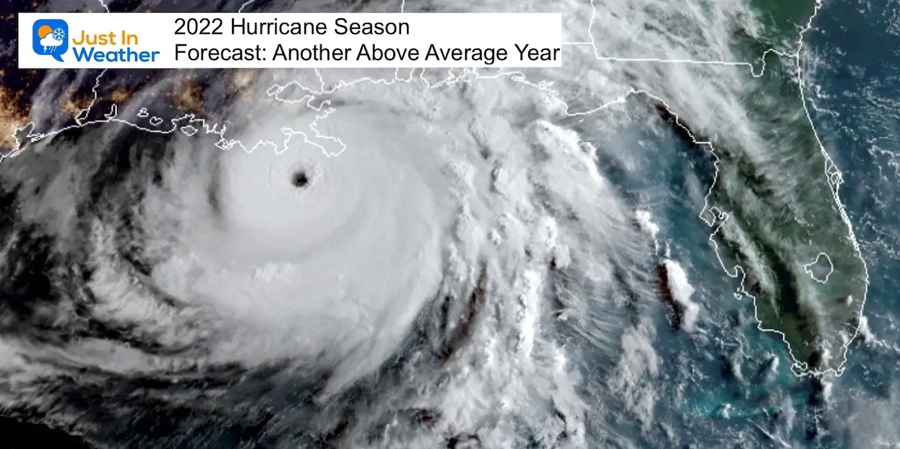
Hurricane Season Forecast: June 1 Through November 30
NOAA 2022 Hurricane Forecast- Above Normal Again
Forecast From Colorado State University
Related Posts
NOAA Study: Reducing Air Pollution INCREASED Tropical Storms
Atlantic Tropical History: Maps of Origin Regions Every 10 Days
Recent Storm Reports
May 16 Large Hail Videos And Storm Tracking Map
Please share your thoughts, best weather pics/video, or just keep in touch via social media
Facebook: Justin Berk, Meteorologist
Twitter: @JustinWeather
Instagram: justinweather
*Disclaimer due to frequent questions:
I am aware there are some spelling and grammar typos. I have made a few public statements over the years, but if you are new here you may have missed it:
I have dyslexia, and found out at my second year at Cornell. I didn’t stop me from getting my meteorology degree, and being first to get the AMS CBM in the Baltimore/Washington region.
I do miss my mistakes in my own proofreading. The autocorrect spell check on my computer sometimes does an injustice to make it worse.
All of the maps and information are accurate. The ‘wordy’ stuff can get sticky.
There is no editor that can check my work when I need it and have it ready to send out in a newsworthy timeline.
I accept this and perhaps proves what you read is really from me…
It’s part of my charm.


