July 13 Weather Not Completely Done With Storms
July 13 2022
Wednesday Morning Update
We find ourselves in a typical summer pattern for a change. I say that because up until now it’s been mostly cooler than average with a few hot days sprinkled in between. Then the eruption of storms, including the multiple paths of destruction we had yesterday.
If you missed the storm recap, I will report a link below. As for the question of tornado or straight line winds (which can be more destructive), we need to wait for the National Weather Service survey to confirm. That maybe completed today.
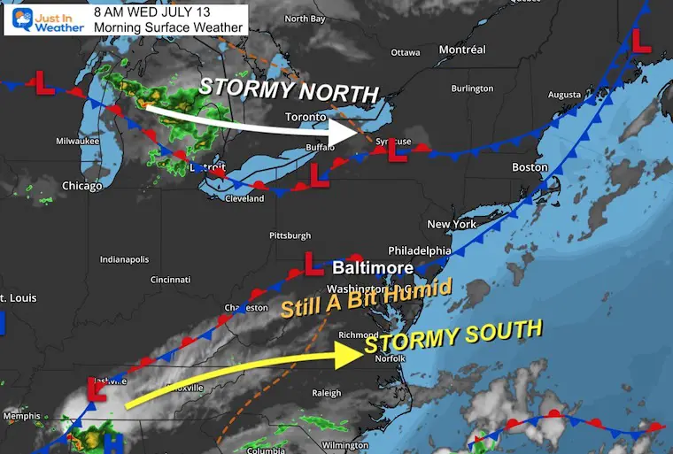
The weather today remains warm and a bit humid, which is not helpful for nearly 100,000 customers still without power between northern Virginia and Maryland.
Our risk of storms will be small and widely scattered, however will increase again with more heat over the weekend and next week. Let’s take a look…
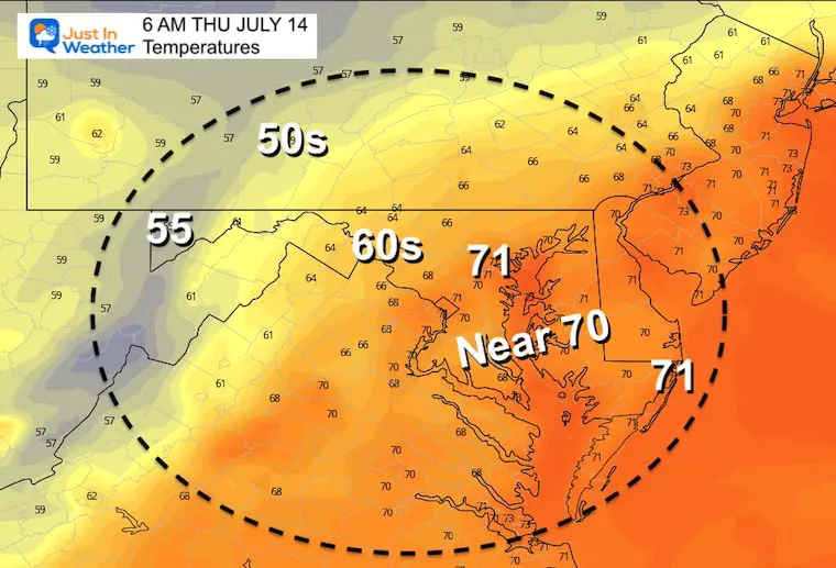
Morning Surface Weather
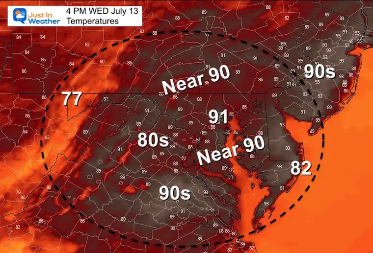
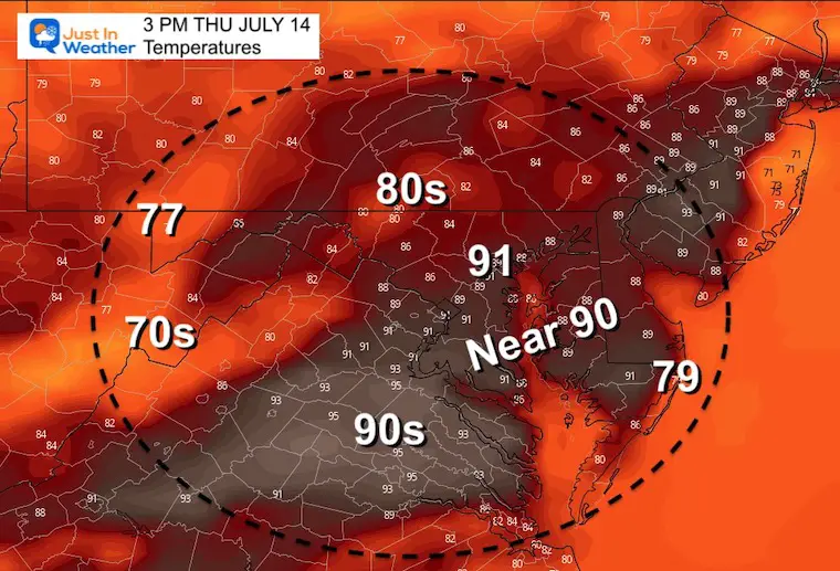
Afternoon Temperatures
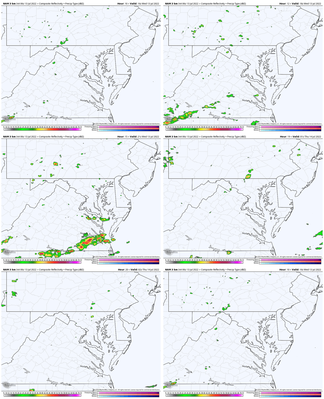
Radar Simulations
NAM 3 Km Model 12 PM to 10 PM
Here we can see pop up showers, keeping most of our region with a 20% chance. It will be more likely north and south.
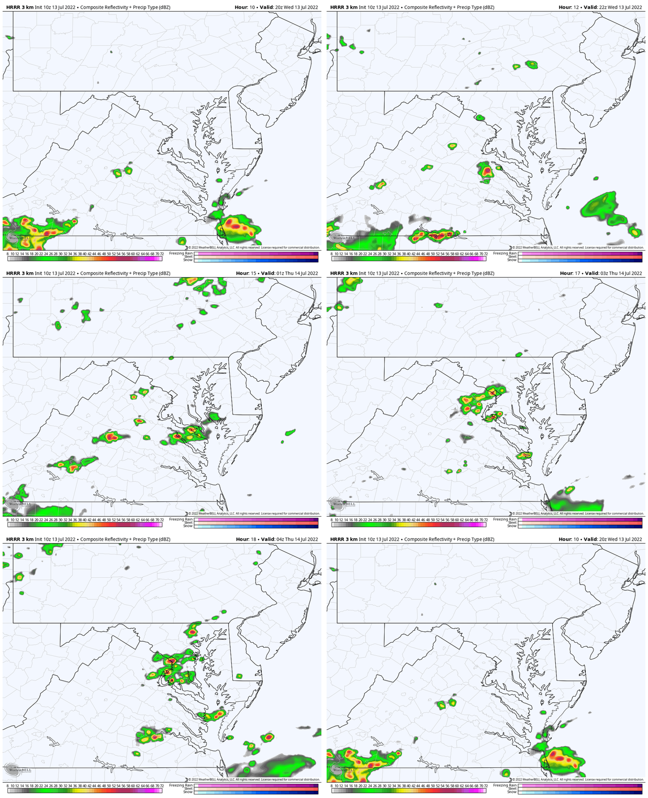
HRRR Model 4 PM to Midnight
This shows a little more focus for southern Pennsylvania and a larger band for Southern Maryland by evening…
Then a cluster tonight for metro Washington to Baltimore. I will watch this for any consistency with each hourly update.
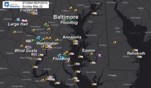
Storm Report (preliminary) : Tuesday July 12
CLIMATE DATA
TODAY July 13th
Normal Low in Baltimore: 67ºF
Record 55ºF in 1978
Normal High in Baltimore: 89ºF
Record 99ºF 1966
Temperatures
Morning
Afternoon
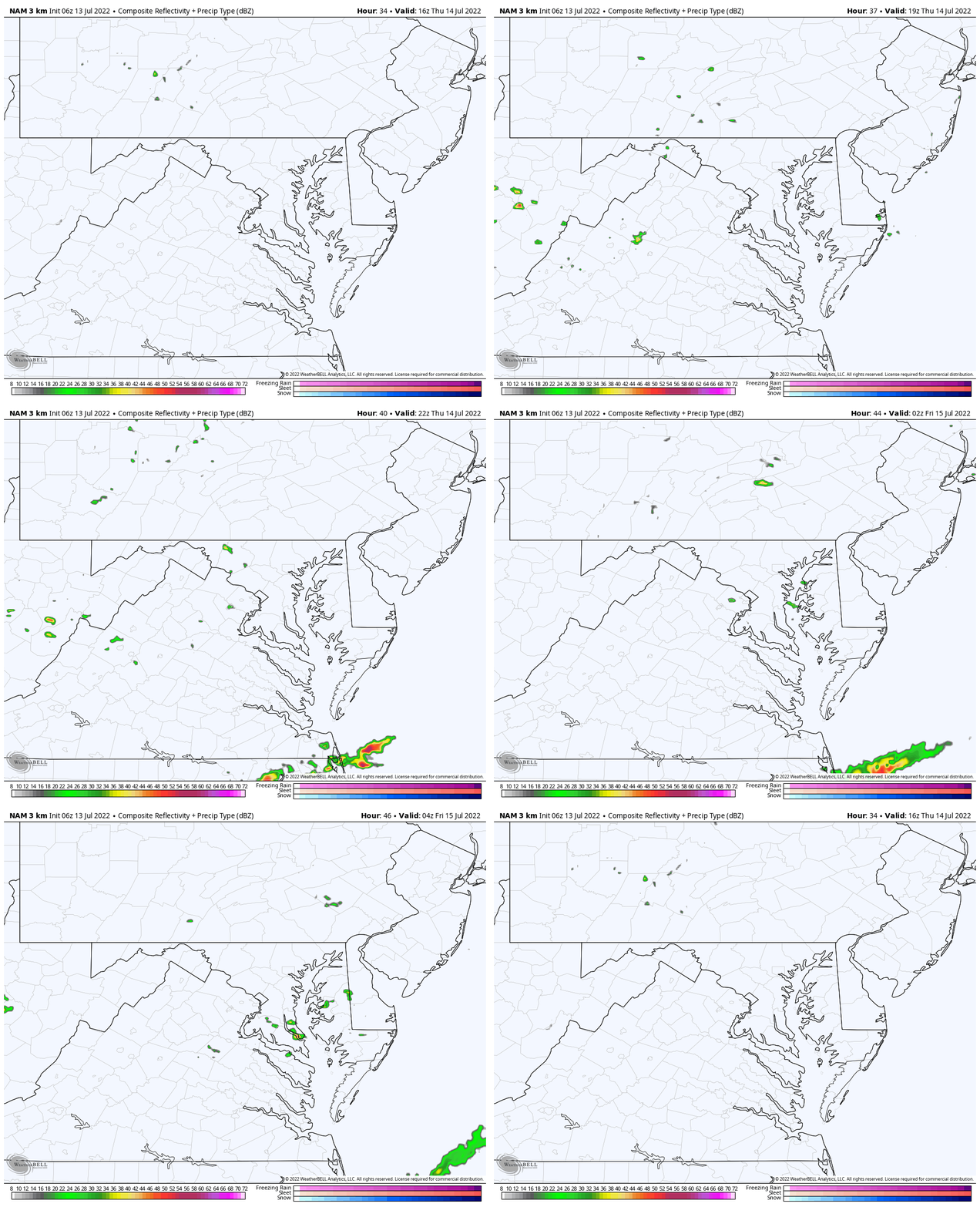
Radar Simulation 12 PM to Midnight
This looks much less active, but still some pop-up showers can’t be ruled out. I’ve kept this at 20% chance…
7 Day Forecast
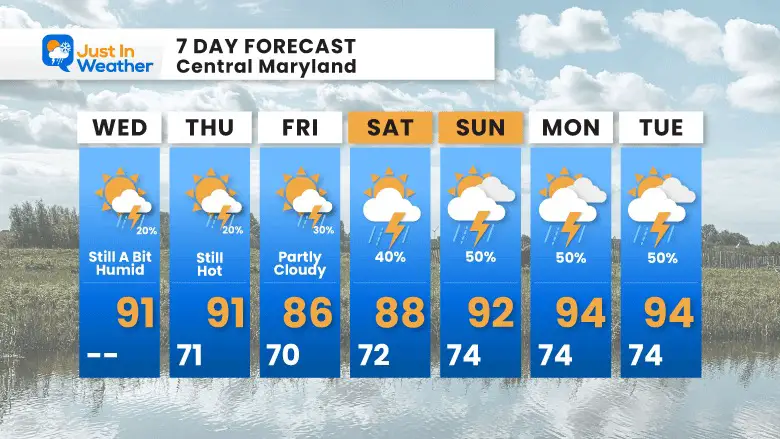
Looking ahead we get a dip of temps into the 80s, but bring back the humidity as that stalled front meanders closer to us. That should bring an increased storm risk late weekend and early next week.
Plan Your Kayaking Day Now
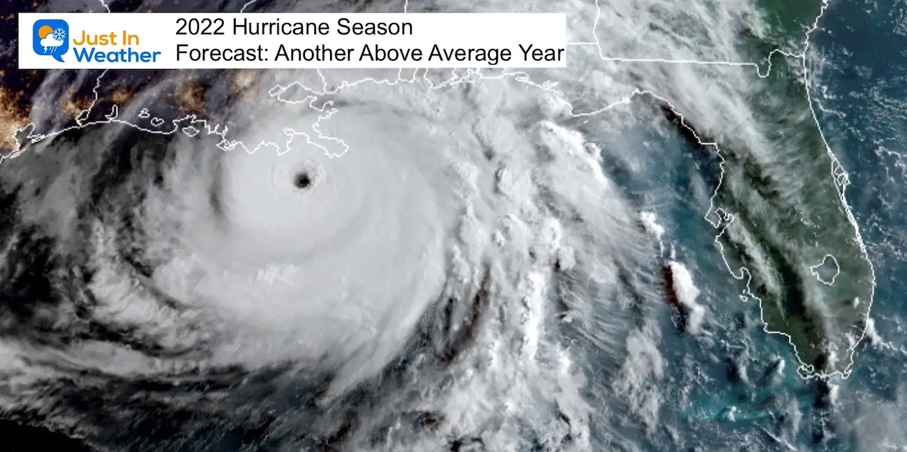
Hurricane Season Forecast: June 1 Through November 30
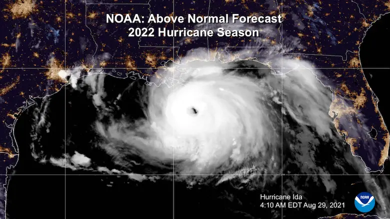
NOAA 2022 Hurricane Forecast- Above Normal Again
Forecast From Colorado State University
Related Posts
NOAA Study: Reducing Air Pollution INCREASED Tropical Storms
Atlantic Tropical History: Maps of Origin Regions Every 10 Days
Recent Storm Reports
May 16 Large Hail Videos And Storm Tracking Map
Please share your thoughts, best weather pics/video, or just keep in touch via social media
Facebook: Justin Berk, Meteorologist
Twitter: @JustinWeather
Instagram: justinweather
*Disclaimer due to frequent questions:
I am aware there are some spelling and grammar typos. I have made a few public statements over the years, but if you are new here you may have missed it:
I have dyslexia, and found out at my second year at Cornell. I didn’t stop me from getting my meteorology degree, and being first to get the AMS CBM in the Baltimore/Washington region.
I do miss my mistakes in my own proofreading. The autocorrect spell check on my computer sometimes does an injustice to make it worse.
All of the maps and information are accurate. The ‘wordy’ stuff can get sticky.
There is no editor that can check my work when I need it and have it ready to send out in a newsworthy timeline.
I accept this and perhaps proves what you read is really from me…
It’s part of my charm.


