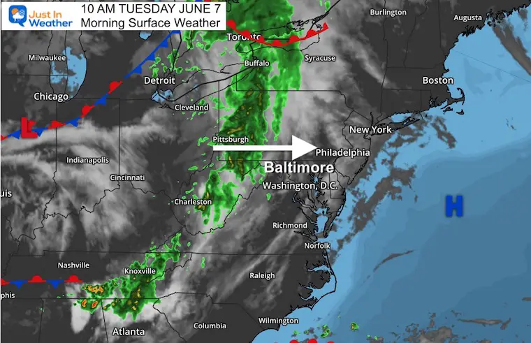
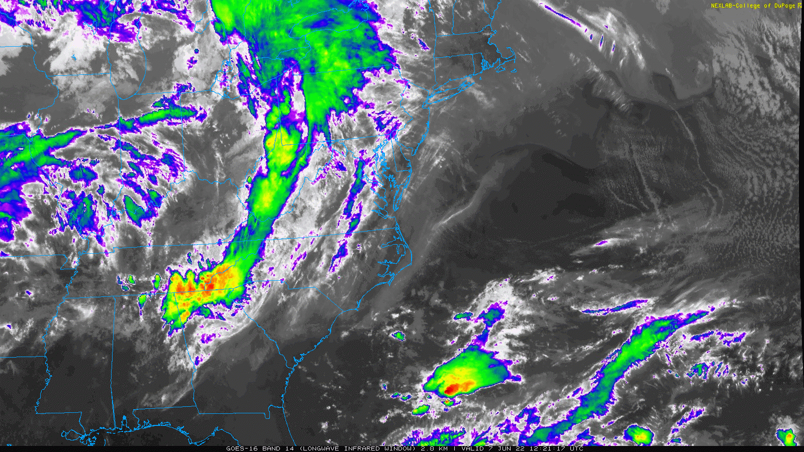
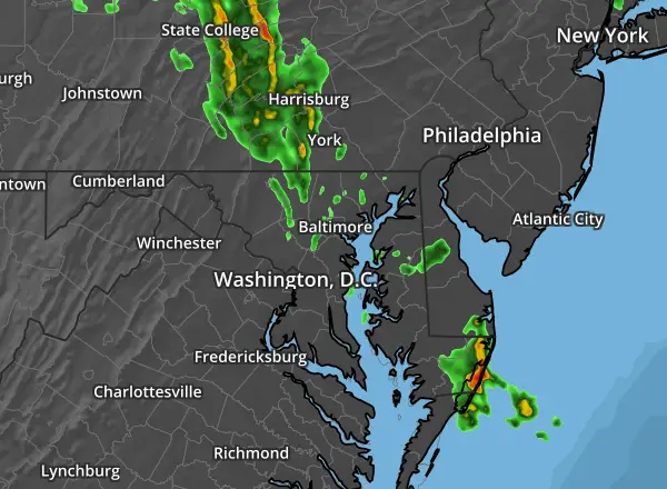
The clouds has undoubtedly moved in already, and with the forecast for rain, you might be wondering when and ‘how bad’?This is the point I want to are the short range computer model simulations for how the radar may look later today.
In short, we will have some showers after noon, especially in the mountains, and along the PA line.
The initial push of rain often follows the line of the front ridges and mountain foothills.
The next push will be after 4 PM, when showers and some thunderstorms will develop and reach metro areas.
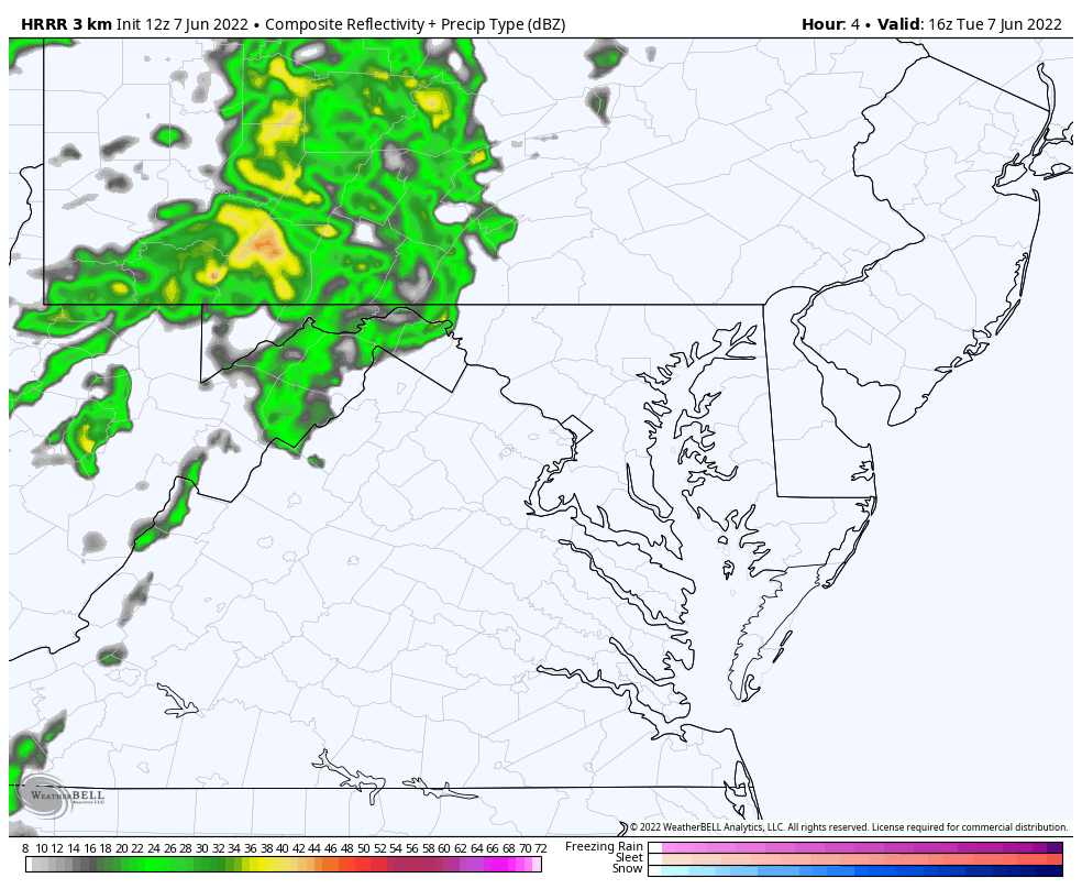
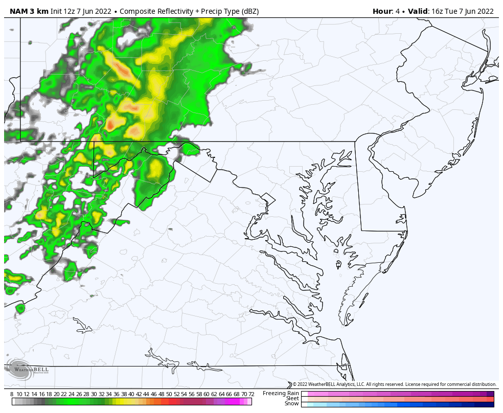
There is no promise of precise time and location, but the radar simulations below do show the best suggestion. We can compare the HRRR and NAM 3 Km model and see similarities. Both of which show more metro activity between 4 PM and 8 PM, the lingering showers overnight.
We DO NOT have a severe weather risk, but any individual cell can produce dangerous lightning and locally heavy rain.
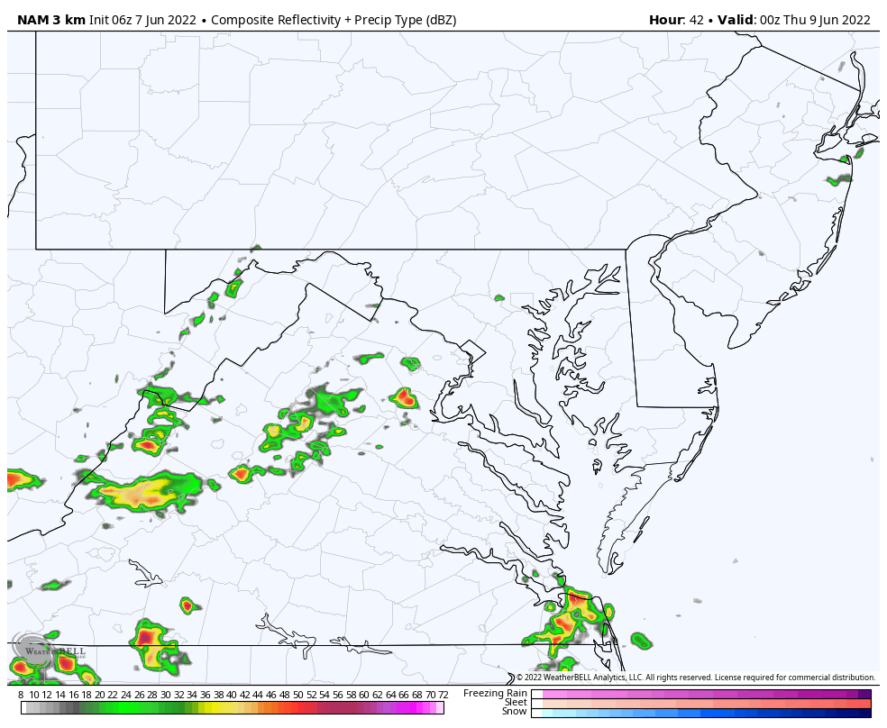
The bulk of the activity will be AFTER 4 PM in metro areas. See the animation below and compare to the NAM 3 Km Model
HRRR Animation
Noon to 2 AM Wednesday
NAM 3 Km Animation
Noon to 10 PM
Radar Loop: Last 2 Hours (updated)
Showing Last 2 Radar map data
Last 2
Wednesday
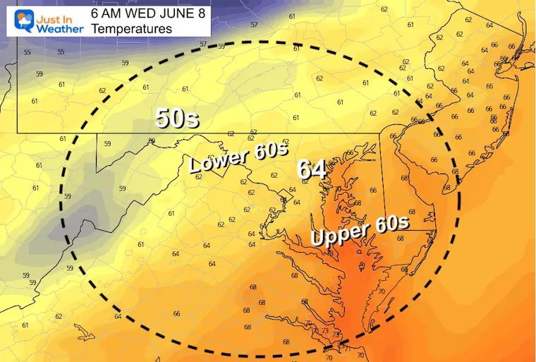
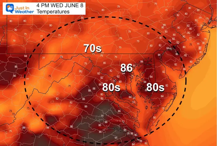
Temperatures
Morning
Afternoon
Notice the cooler temps (60s to near 70) to our west. This will be under advancing rain and storms.
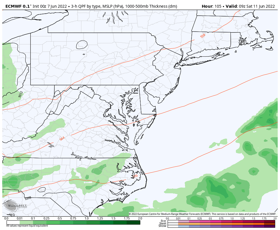
Radar Simulation: 8 PM Wed to 8 AM Thu
Here we see the cluster of storms mostly overnight, and moving out in the morning.
Your weather app may be showing rain or a lightning bolt on both days, but the bulk will be during the dark hours.
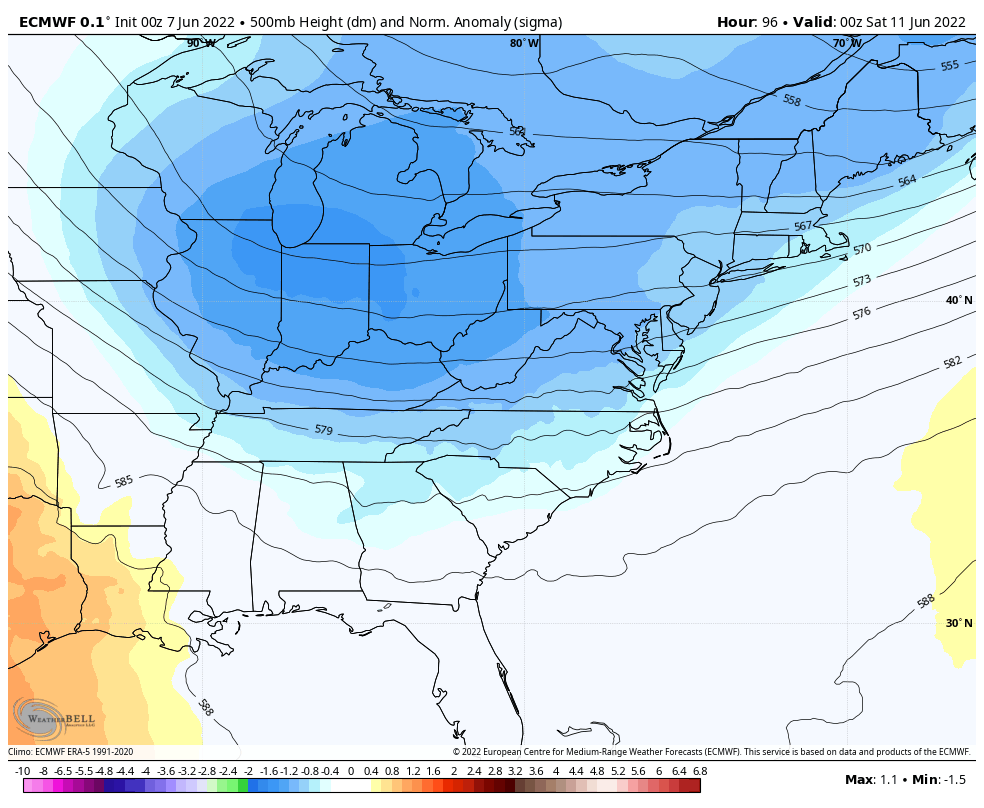
Looking Ahead To This Weekend
Jet Stream
This short wave will be swing through on a trough Saturday. That is a set up for a larger rain maker. The good news is that this looks like just a one day event. The back news, it will impact the start of the weekend.
Jet Stream Animation: Friday Night to Next Thursday Morning
After this moves through, we should let the warmer air return next week.
Forecast Animation Saturday 5 AM to 11 PM
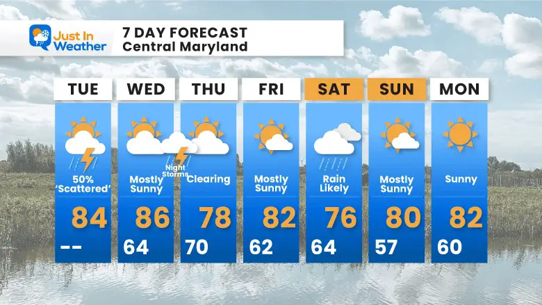
7 Day Forecast
Paddling Picks Of The Week
THURSDAY and FRIDAY
Book Your Kayak or Paddle Boat Adventure On The North Chesapeake Bay
Tuesday and Wednesday will bring thunderstorms. They will not dominate the day, but be enough in the afternoon and evening to pay attention to.The next weather event on Saturday does look like a larger and longer lasting (day-long) event.
Hurricane Season Forecast: June 1 Through November 30
I am aware there are some spelling and grammar typos. I have made a few public statements over the years, but if you are new here you may have missed it:
I have dyslexia, and found out at my second year at Cornell. I didn’t stop me from getting my meteorology degree, and being first to get the AMS CBM in the Baltimore/Washington region.
I do miss my mistakes in my own proofreading. The autocorrect spell check on my computer sometimes does an injustice to make it worse.
All of the maps and information are accurate. The ‘wordy’ stuff can get sticky.
There is no editor that can check my work when I need it and have it ready to send out in a newsworthy timeline.
I accept this and perhaps proves what you read is really from me…