May 25 A Break Today Then Rain Returns Tomorrow With Heavy Storms Friday
Wednesday May 25 2022
Morning Report
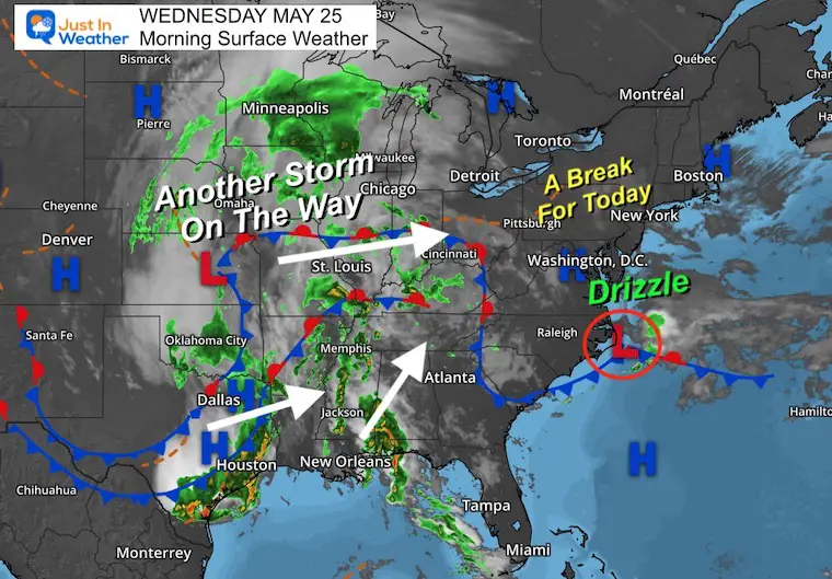
The one bit of good news I get to hare is the break in the active weather today. We remain with clouds and a cool set up, while drizzle and light rain may fall in southern Maryland.
Across the nation, a combination of weather systems will be joining forces to make one larger storm we get to end the week. There will be an improvement over the holiday weekend. Hang on for that…
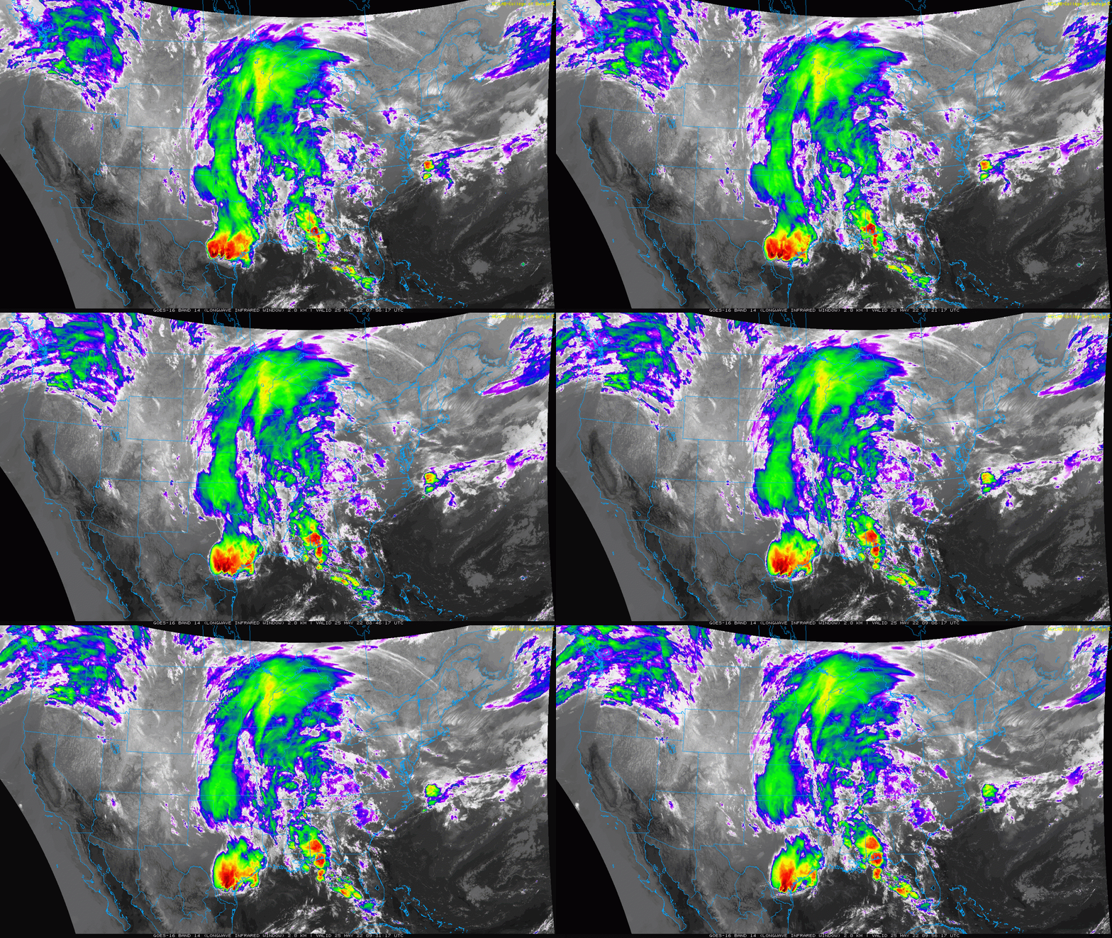
National Satellite Loop: 4 AM to 6 AM
Here we can see the color enhanced cloud tops with heavy storms across East Texas and the Gulf Coast. The moisture flow is to the north, and eventually the entire system will be spreading east to reach us on Friday.
Morning Set Up
Surface Weather
The chaotic cluster of weather systems in the southern and central US will be organizing into one large storm heading our way for the end of the week.
Closer Look
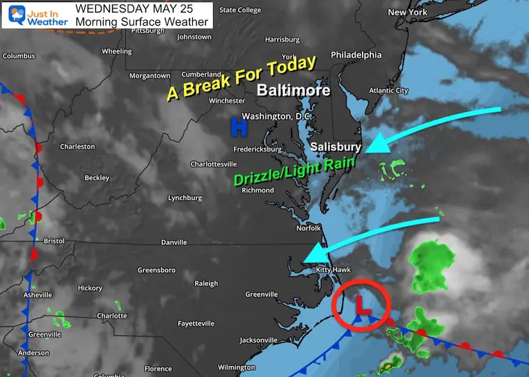
The old Low is off the coast, and still assisting in the light wind from the ocean. This will keep clouds around- with a few breaks of sun farther north.
Closer to that Low there will be drizzle and light rain across southern Maryland today. That will turn the corner and head north tonight.
Pollen Reports
Keep this link handy… I’ll post the latest info as soon as I get it on this page.
The Pollen Reports Page
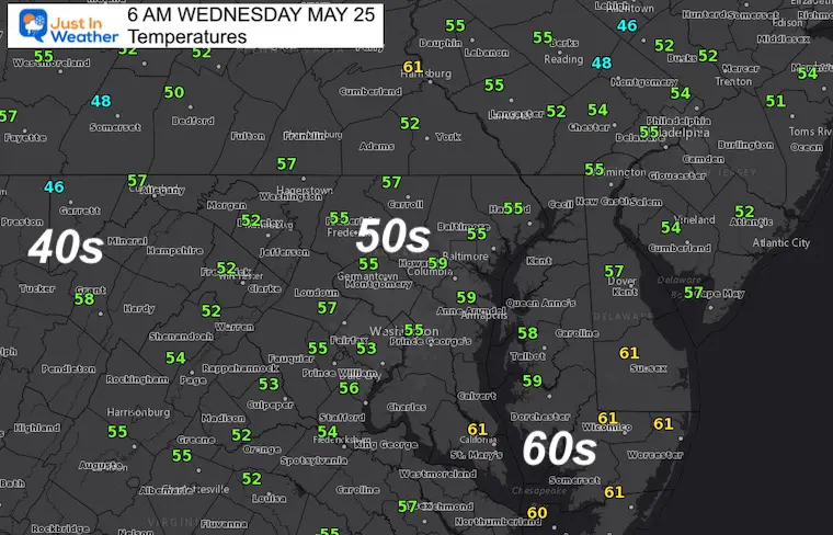
Morning Temperatures
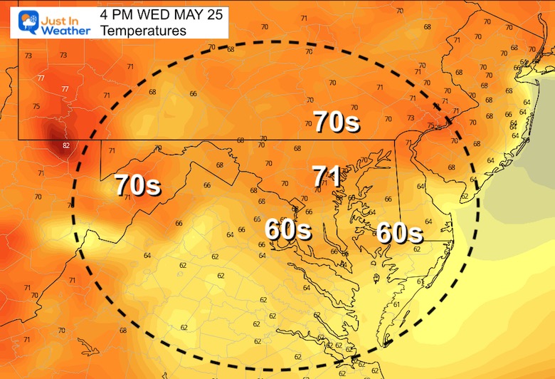
Afternoon Temperatures
In Case You Missed It..
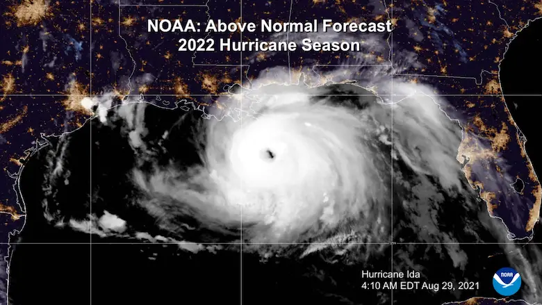
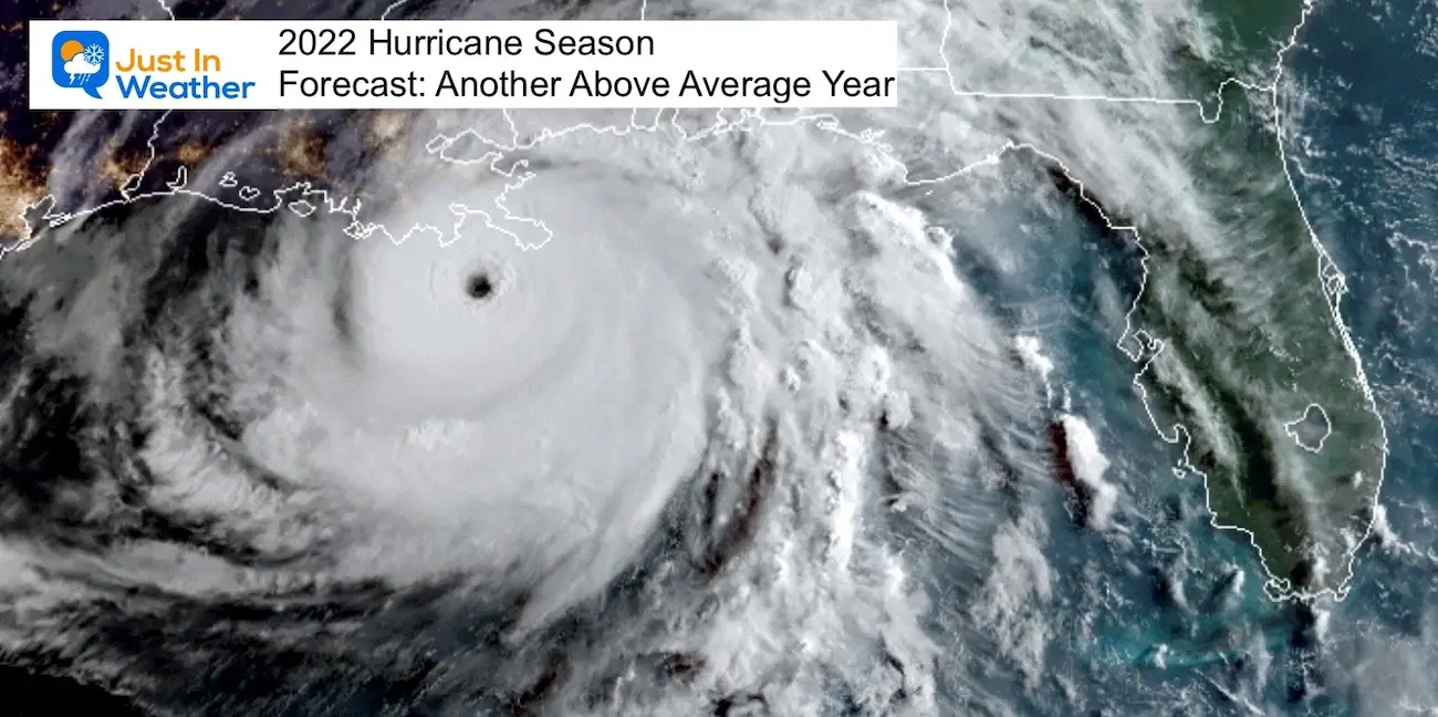
NOAA 2022 Hurricane Forecast- Above Normal Again
CLIMATE DATA
TODAY May 25th
Normal Low in Baltimore: 55ºF
Record 38ºF in 1956
Normal High in Baltimore: 76ºF
Record 94ºF 1991
VOTE: Best ‘Meteorologist’
Of Baltimore (Reader’s Poll)
Through May 29 at 5 PM
Click here to access The Baltimore Sun
Thursday
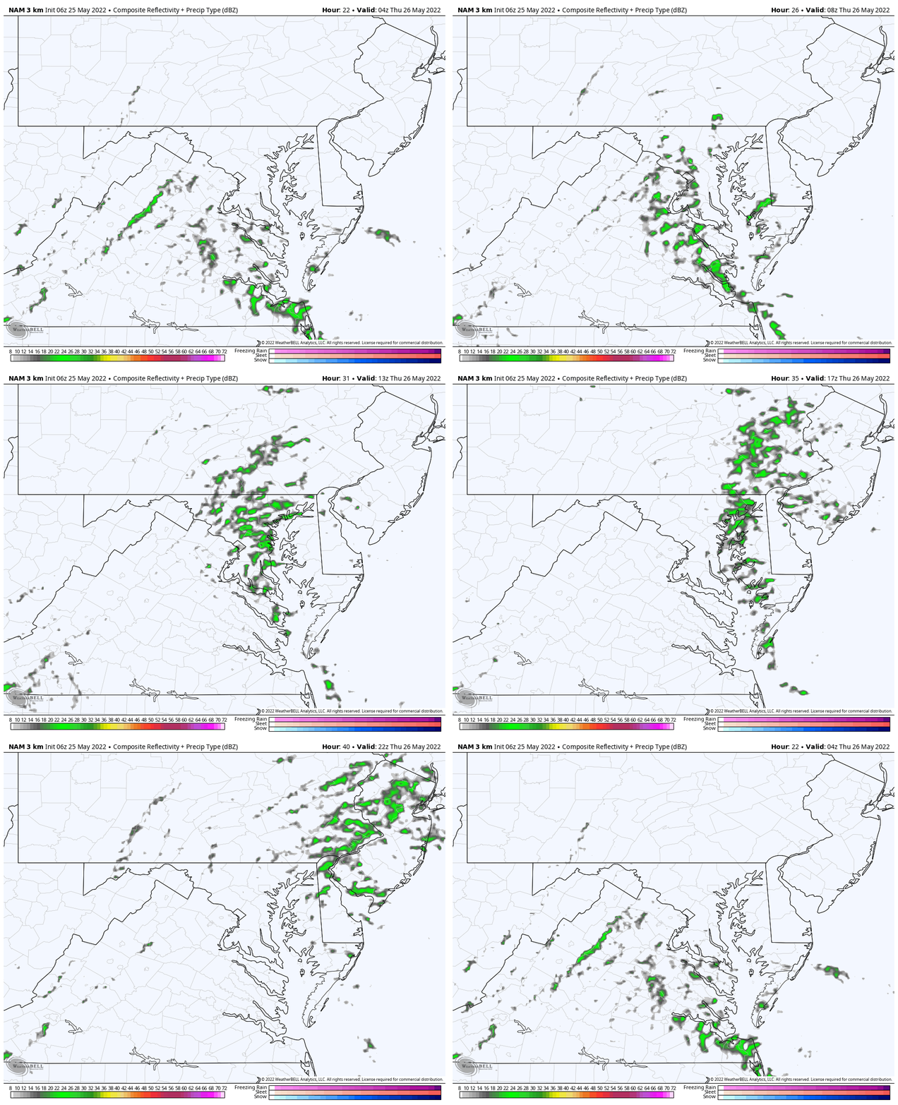
Rain Animation:
Watch the build up in southern Maryland turn the corner and head north during the day. This ill be a narrow band, but should affect most of central Maryland and metro areas.
Temperatures
Morning
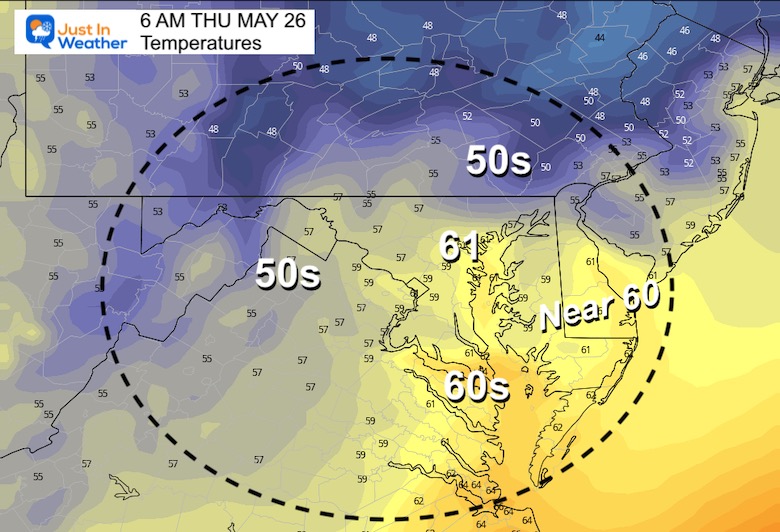
Afternoon

Looking Ahead
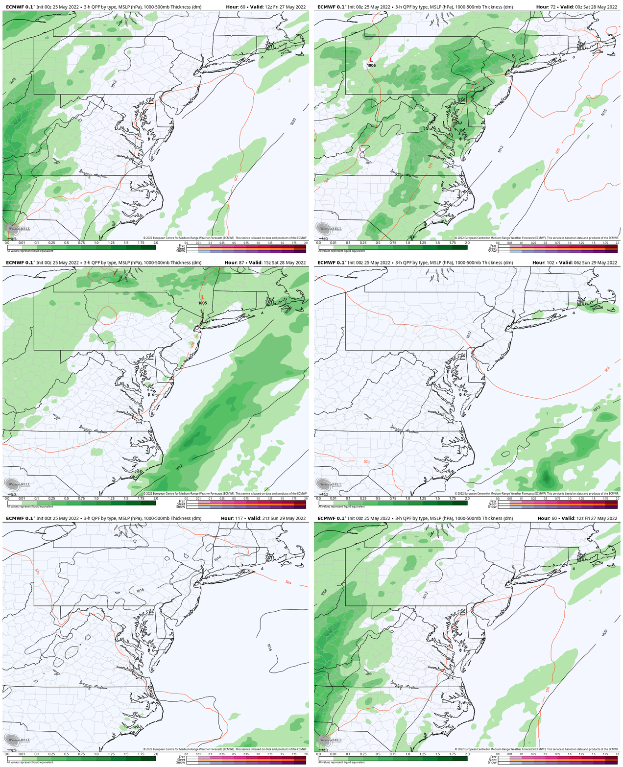
Rain Animation: Friday Morning To Sunday Afternoon
The cold front will ignited a larger band of rain and storms on Friday. When we get to the weekend, showers will redevelop (scattered ) on Saturday. However, most of that day should be dry.
By Sunday, the pattern should improve, but we may still have a lingering pop up shower depending on the speed of the front.
Overall, we will have a summer-like Memorial Day Monday.
7 Day Forecast

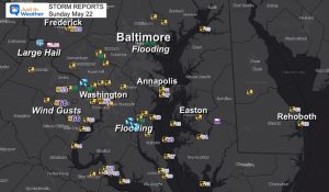
Storm Reports
May 16 Large Hail Videos And Storm Tracking Map
Tropical Season Begins June 1
Related Posts
NOAA Study: Reducing Air Pollution INCREASED Tropical Storms
Atlantic Tropical History: Maps of Origin Regions Every 10 Days
Please share your thoughts, best weather pics/video, or just keep in touch via social media
Facebook: Justin Berk, Meteorologist
Twitter: @JustinWeather
Instagram: justinweather
*Disclaimer due to frequent questions:
I am aware there are some spelling and grammar typos. I have made a few public statements over the years, but if you are new here you may have missed it:
I have dyslexia, and found out at my second year at Cornell. I didn’t stop me from getting my meteorology degree, and being first to get the AMS CBM in the Baltimore/Washington region.
I do miss my mistakes in my own proofreading. The autocorrect spell check on my computer sometimes does an injustice to make it worse.
All of the maps and information are accurate. The ‘wordy’ stuff can get sticky.
There is no editor that can check my work when I need it and have it ready to send out in a newsworthy timeline.
I accept this and perhaps proves what you read is really from me…
It’s part of my charm.


