


Severe Storm And Flood Update Monday Afternoon July 14
Monday Afternoon July 14, 2025 The atmosphere is still very juicy! Dew points are high in the mid-70s, which means there is a lot of moisture in the atmosphere to…
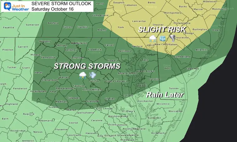
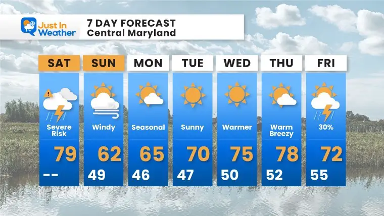
Saturday October 16
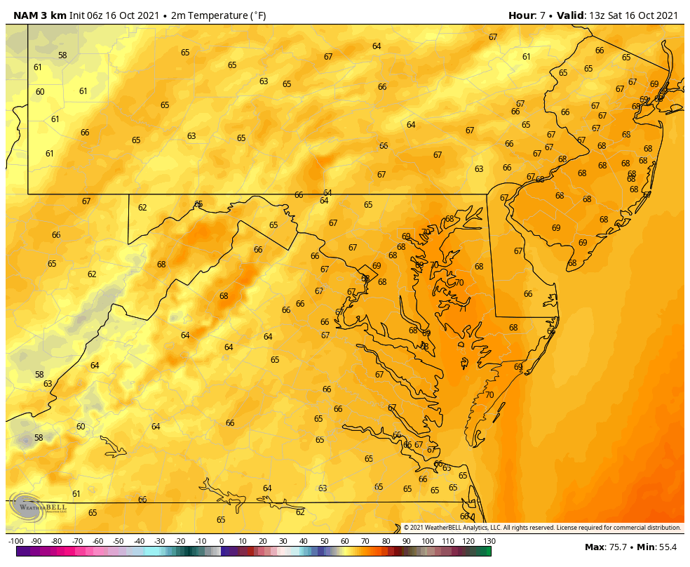
We start off warm again, but will end chilly. Yesterday, BWI hit 85ºF, just missing matching the record. Today the heat ends as strong cold front will cross the region, bringing the chance for storms to turn severe. In addition it does appear the rain may actually last linger more than just one hour as I suggested yesterday.
Note: I will be trying something NEW today, and I hope it will help you throughout the day. See more below.
Temps start off feeling like summer ahead of the front. That cold front has already produces severe storms and tornado warnings in parts of western Pennsylvania. Behind the front, temps will drop quickly.
As for the rain, it will linger behind the front. So the duration should be longer than just one hour. See the timeline sliders below.
If you are heading out to a game or hiking, plan for wet weather AND a change from temps 75ºF to 80ºF to the 60s and 50s.

When we time that front during the afternoon, metro areas should expect the worst between 2 and 4 PM. One important factor is that the strongest part will be on the north end in Harford, Cecil, York, and Lancaster Counties.
This new version of my website has alerts posted as they are issued. I can now post updates with important weather conditions quickly to help you plan.
Metro areas can expect the worst weather between 2 and 4 PM. If you are west and north it will be sooner. However, if you are south and east storms will be later. I want to help you track it where you are.
ACTION LINKS FOR…
Alerts On The Top Of The HOME PAGE
Click these to access: Quick posts with radar or other elements. I will try to update this every 30 minutes this afternoon, or as needed.
This timing is a little faster of the two, and shows a solid shield of rain.


This timing is a little later, and shows multiple lines of rain.


Normal Low in Baltimore: 46ºF
Record 30ºF in 1876
Normal High in Baltimore: 67ºF
Record 90º F 1897
Our first real taste of autumn chill.

Most areas will be 15 degrees cooler than Saturday’s high temps.
It will be chilly and help with the leaf color expanding.

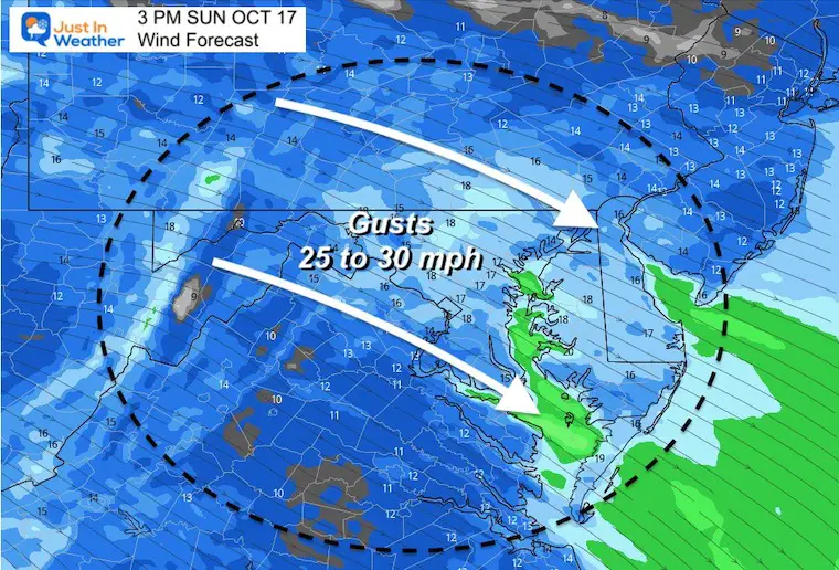
It will be chilly at the Ravens. Gusts up to 30 mph could affect the kicking game.
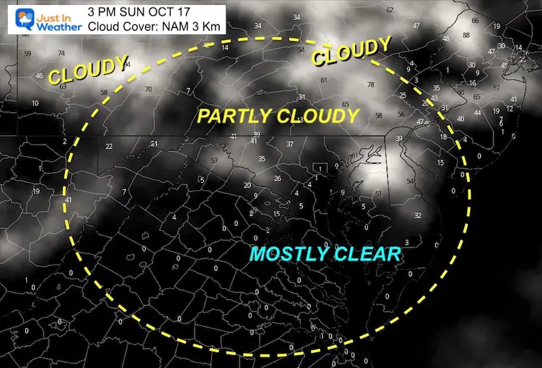
More clouds will mix across the sky north, with more sunshine south.
Today we will finally usher in Autumn. After a few chilly days, another warm up is expected later in the week. The progression of shorter days and lower sun angle will help this be less potent…


Please make sure you sign up for my newsletter.
See the SUBSCRIBE button at the bottom of the page.
This way you will get an email to make sure you are notified with each new post.