


May 1 Weather Gradual Cooling Trend Will Bring Rain Into The Weekend
Wednesday, May 1 Morning Report One of the marks of May Day is an ancient European holiday celebrating the start of summer. It feels like we have had our taste…
Thursday Morning Report
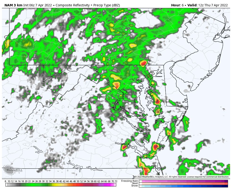
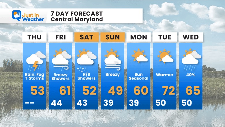
There is good news with this soggy weather report. We do expect a wet day, and there is a chance that despite the chilly temperatures we could have thunder and a half inch of additional rain. However, we should NOT be in the risk for severe storms.
The really good news (for many) is that next week we are expecting that warm up. It is getting closer and looking more likely.
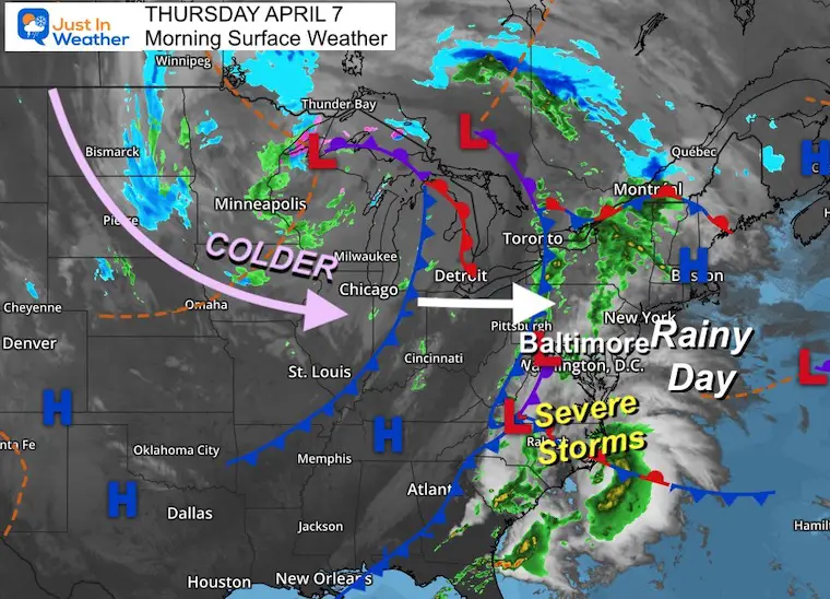
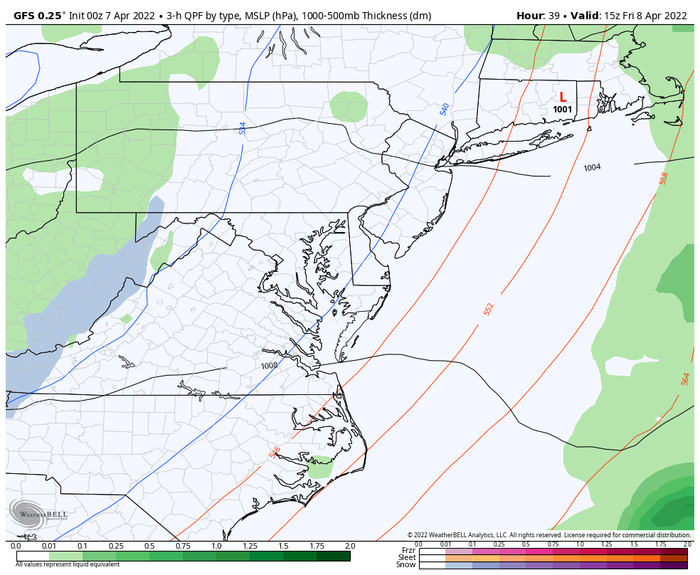
A complex storm system will bring us a cold front, which is likely to get hung up for a bit. A wave of Low Pressure may give the appearance that this will stall, while it enhances the rain and develops some thunderstorms.
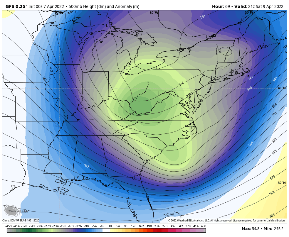
Much colder air behind this is producing snow in the Northern Plains. Some of that cold air will bring snow back to western Maryland on Saturday, and mix in flakes nearby that afternoon.
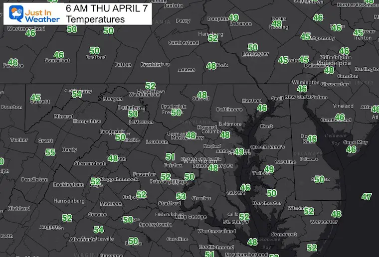
Visibility is down this morning with developing fog. Expect fog to expand with the rain today.
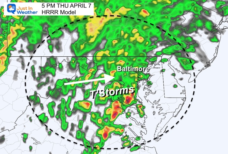
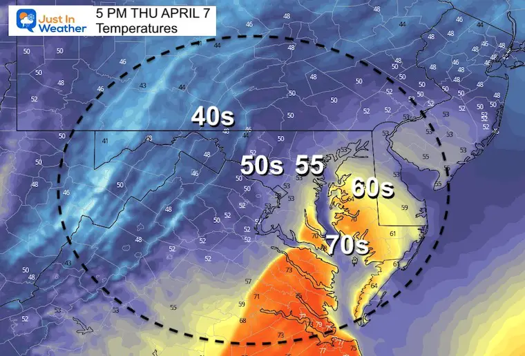
Rain will enhance, with the best chance for T’storms during the afternoon.
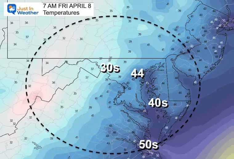
The rain will move out tonight.
I wanted to show this simply because most of us will NOT get in on any threat. However, the risk will be ‘marginal’ on the lower Eastern Shore where temps may push to the 70s.
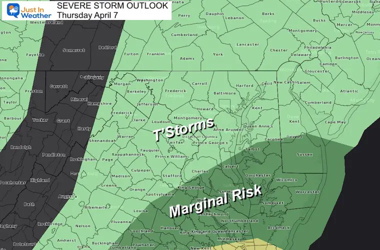
This little poke of warmer air into Southern Maryland is the reason for the up tick up storm potential there.
Seasonal Snow: 14.4”
Normal Low in Baltimore: 40ºF
Record 22º F in 1982
Normal High in Baltimore: 62ºF
Record 93ºF 1929
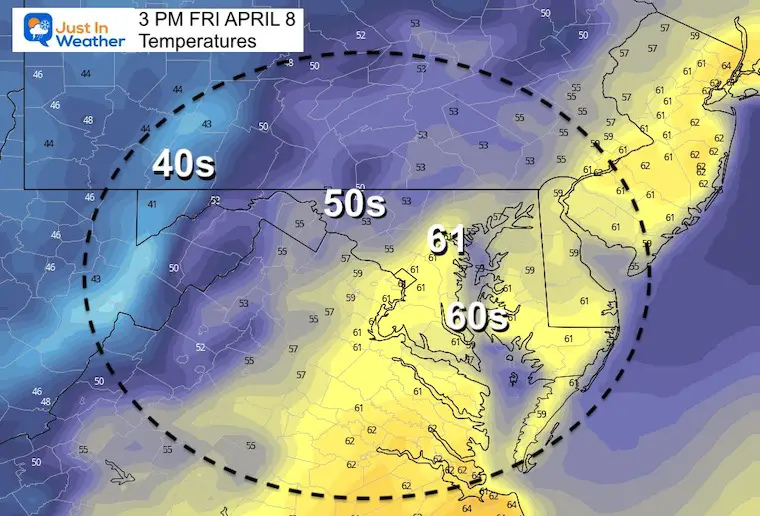
Unsettled Air will develop showers during the afternoons Friday and Saturday. There maybe some snow mixed in the derby suburbs early Saturday.
Saturday to Wednesday – Flip from chilly to very warm in a hurry still expected.
*Disclaimer due to frequent questions:
I am aware there are some spelling and grammar typos. I have made a few public statements over the years, but if you are new here you may have missed it:
I have dyslexia, and found out at my second year at Cornell. I didn’t stop me from getting my meteorology degree, and being first to get the AMS CBM in the Baltimore/Washington region.
I do miss my mistakes in my own proofreading. The autocorrect spell check on my computer sometimes does an injustice to make it worse.
All of the maps and information are accurate. The ‘wordy’ stuff can get sticky.
There is no editor that can check my work when I need it and have it ready to send out in a newsworthy timeline.
I accept this and perhaps proves what you read is really from me…
It’s part of my charm.
#FITF