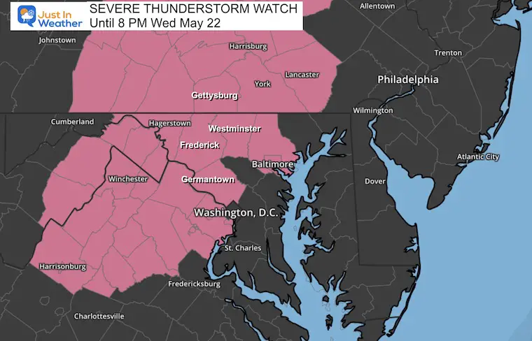
Severe Thunderstorm Watch Until 8 PM Wednesday May 22
Wednesday, May 22, 2024
A Severe Thunderstorm Watch has been issued for much of our region this afternoon and evening. This is an example of nowcasting working better than computer model guidance. This is a little more than expected given the model guidance which had limited development expected for today. A look at the short-range models and live radar widget below.
Note: Any storm that can produce lighting is dangerous; it does not have to be a severe storm.
I have added pressure working with Johns Hopkins University for commencement week. They have their senior toast set up for this evening, and lighting would not be a good thing.
Severe Thunderstorm Watch
This means there is ‘POTENTIAL’ for storms to contain:
- Winds gusting over 58 mph
- Large Hail over 1-inch diameter
- An isolated tornado
If a storm develops with these conditions, THEN a WARNING will be issued to track it more specifically through towns.
Live Radar Widget
Set Up
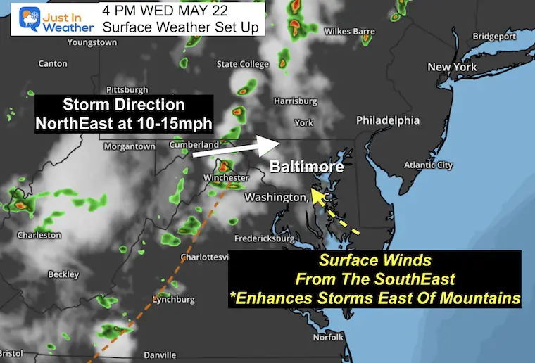
The hyperlocal data I was able to extract shows the wind direction from the South-Southeast. This feature often enhances storm development for central Maryland as it helps to provide added moisture from the Chesapeake Bay AND lift from the upslope winds moving inland. This encourages building clouds and storms to survive in metro areas.
Note: The Computer Model Guidance is UNDERPLAYING this storm setup. I would not use these models to rely on the activity. I am showing you simply for comparison.
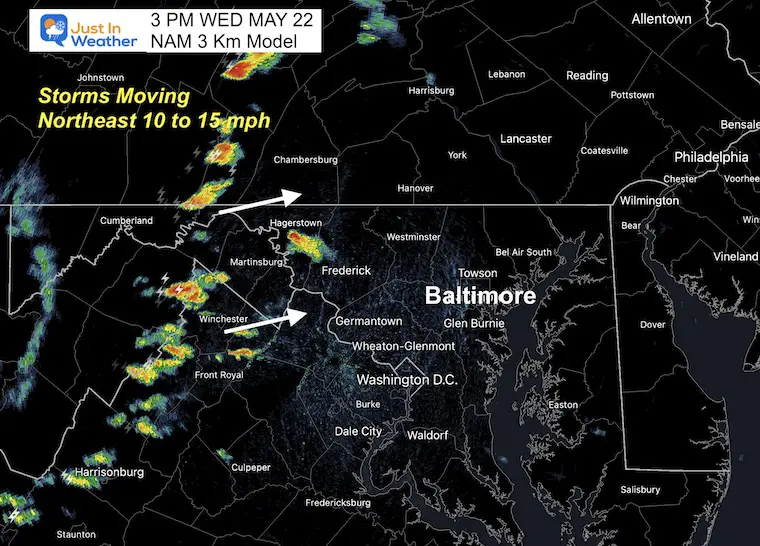
Radar Snapshot at 3 PM
This is much more active than the model (below) suggested.
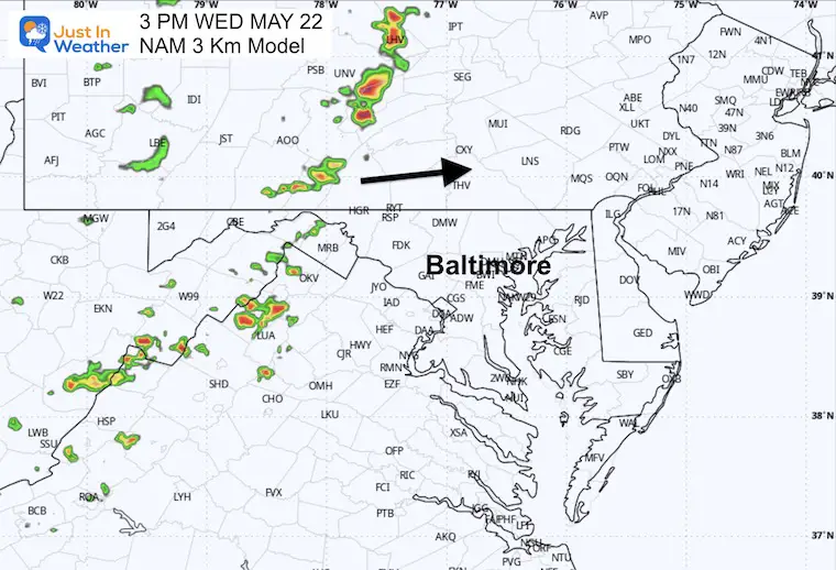
NAM 3 KM Model Forecast at 3 PM
Definitely less activity projected from earlier than shown above.
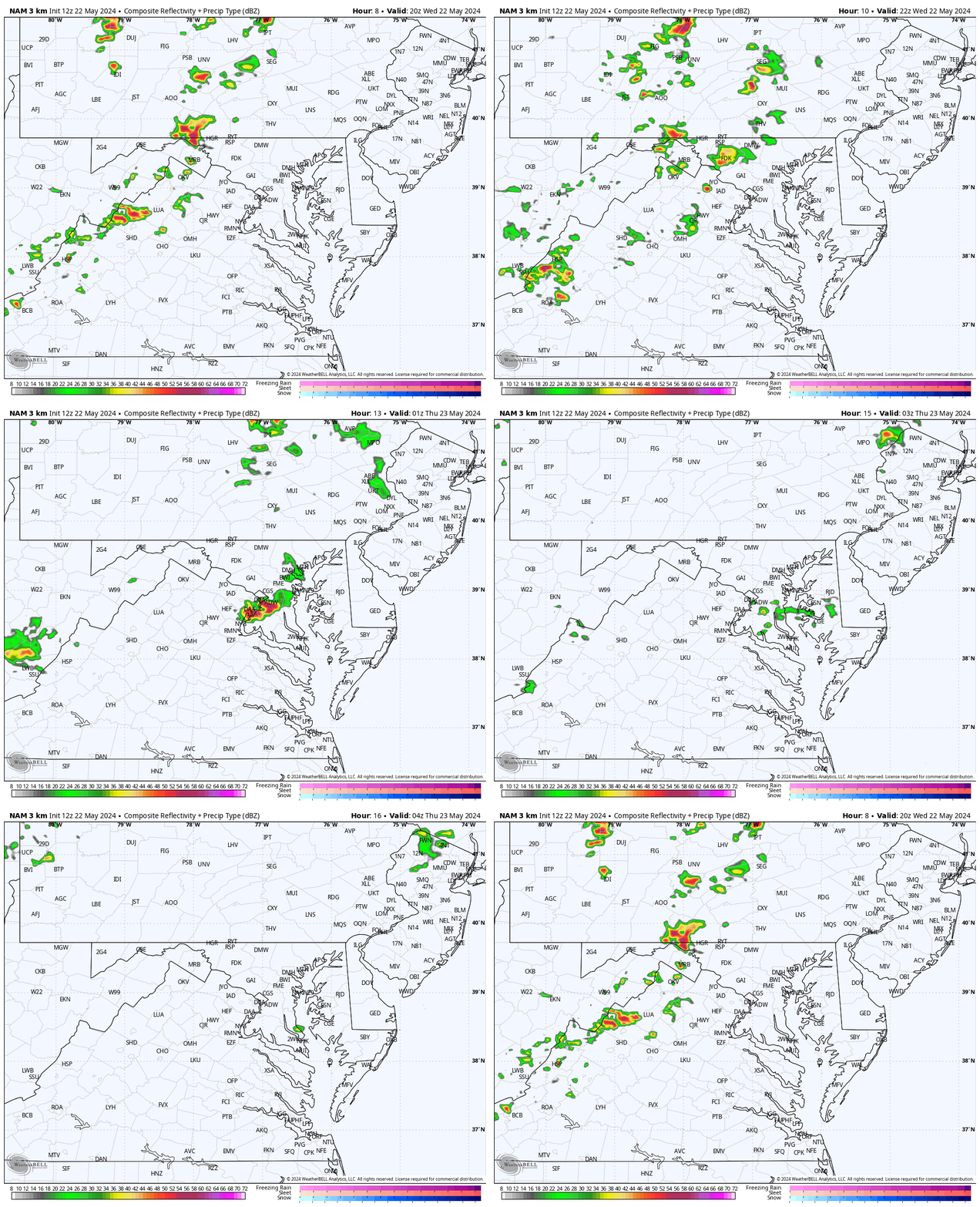
NAM 3 Km Model Simulation 4 PM to Midnight
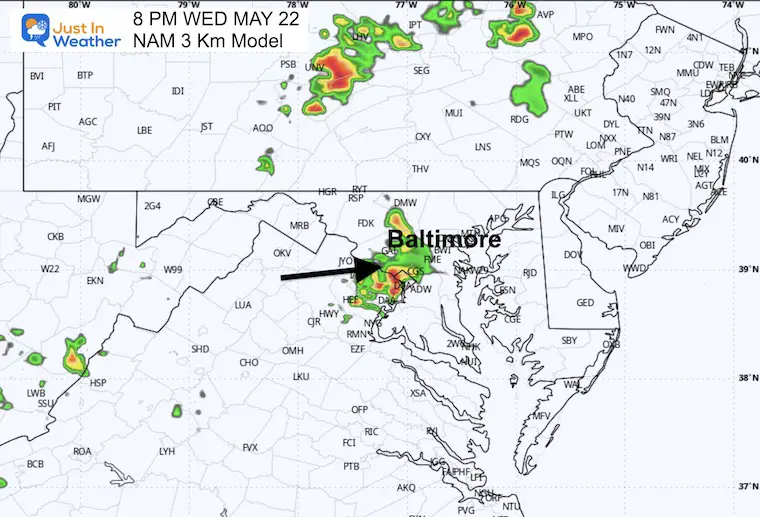
8 PM Snapshot
This shows the storms.
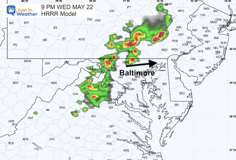
9 PM Snapshot: HRRR Model
This has more activity into the evening but mainly north of the city.
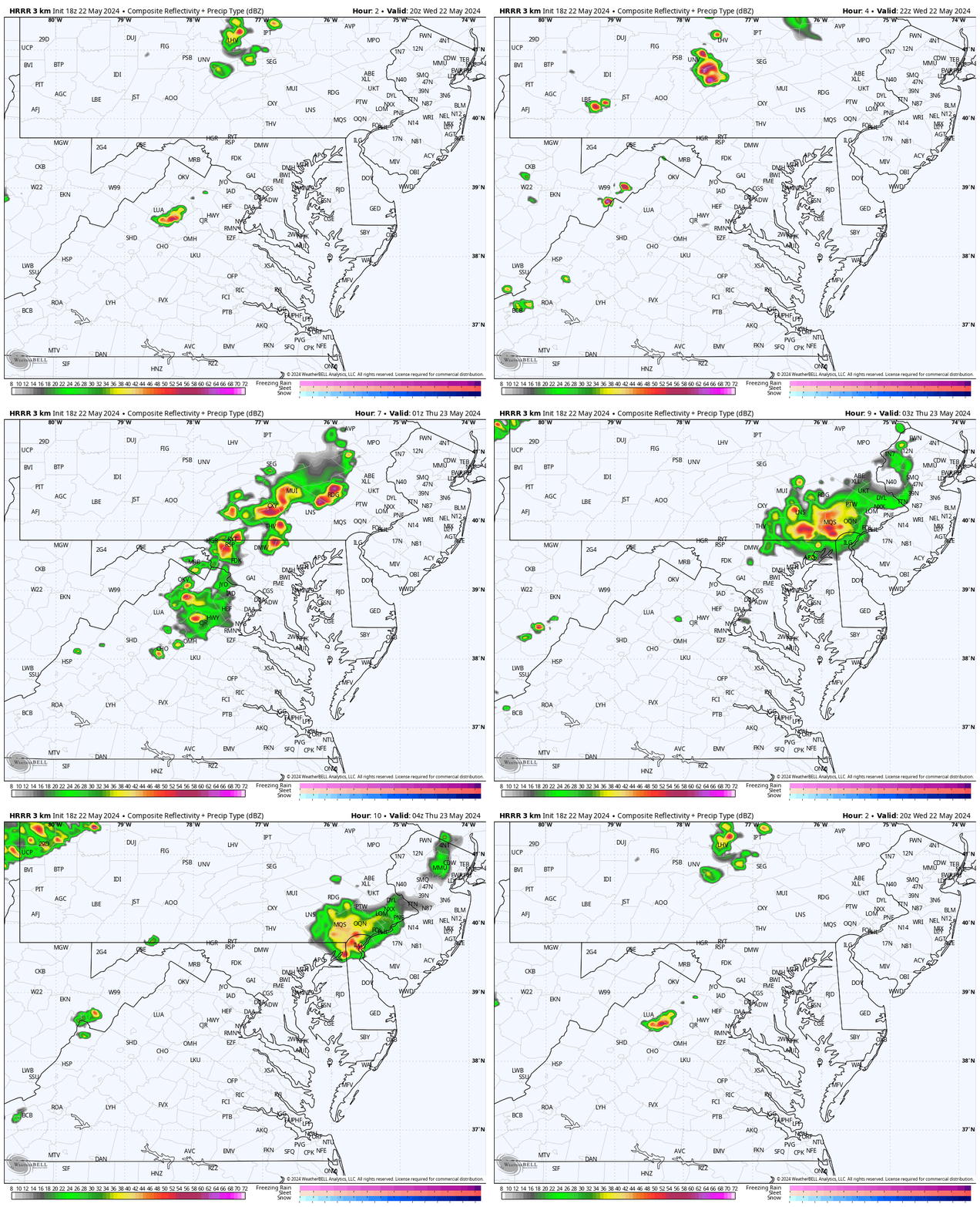
HRRR Model Simulation 4 PM to Midnight
STEM Assemblies/In School Fields Trips Are Back
Click to see more and ‘Book’ a visit to your school
Please share your thoughts and best weather pics/videos, or just keep in touch via social media
-
Facebook: Justin Berk, Meteorologist
-
Twitter
-
Instagram
RESTATING MY MESSAGE ABOUT DYSLEXIA
I am aware there are some spelling and grammar typos and occasional other glitches. I take responsibility for my mistakes and even the computer glitches I may miss. I have made a few public statements over the years, but if you are new here, you may have missed it: I have dyslexia and found out during my second year at Cornell University. It didn’t stop me from getting my meteorology degree and being the first to get the AMS CBM in the Baltimore/Washington region.
One of my professors told me that I had made it that far without knowing and to not let it be a crutch going forward. That was Mark Wysocki, and he was absolutely correct! I do miss my mistakes in my own proofreading. The autocorrect spell check on my computer sometimes does an injustice to make it worse. I also can make mistakes in forecasting. No one is perfect at predicting the future. All of the maps and information are accurate. The ‘wordy’ stuff can get sticky.
There has been no editor who can check my work while writing and to have it ready to send out in a newsworthy timeline. Barbara Werner is a member of the web team that helps me maintain this site. She has taken it upon herself to edit typos when she is available. That could be AFTER you read this. I accept this and perhaps proves what you read is really from me… It’s part of my charm. #FITF


